
Photography and Drone Imagery for Stafford Crematorium
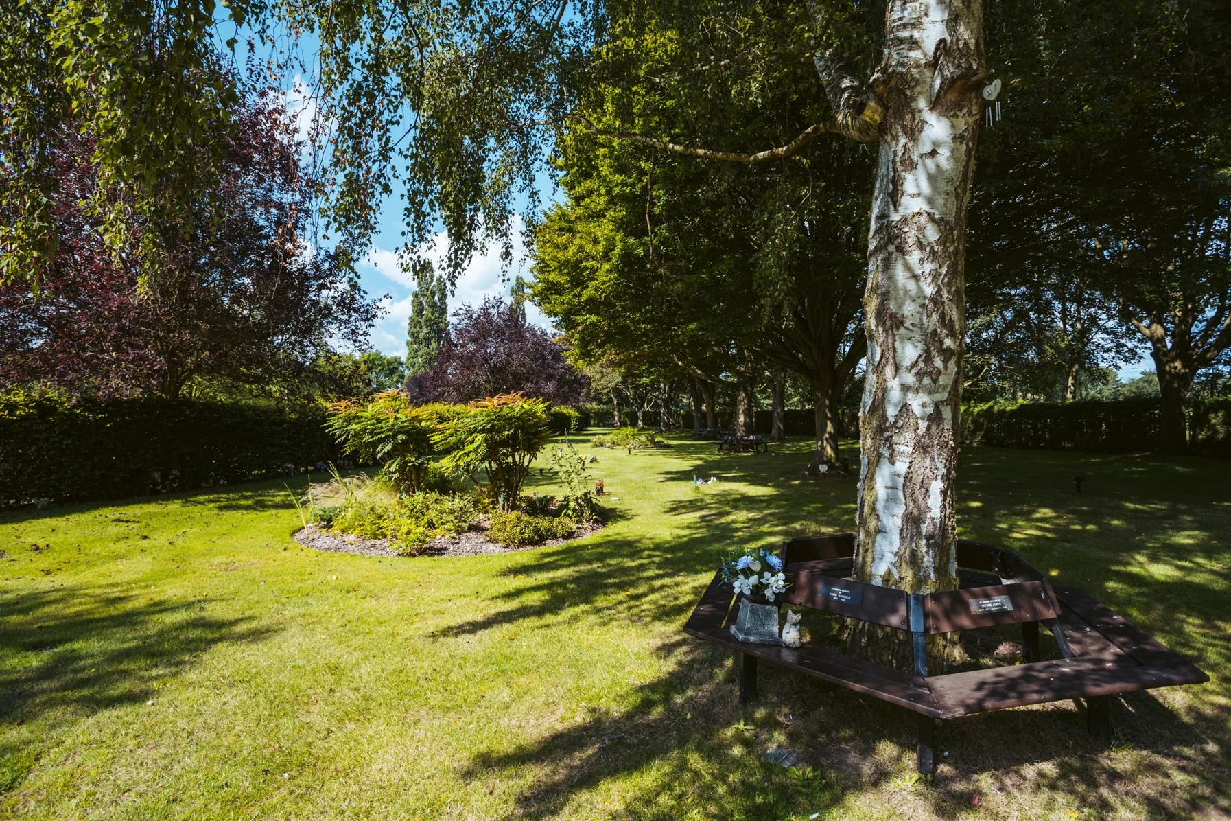
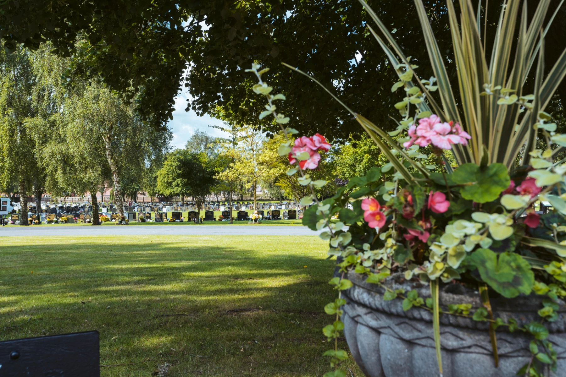
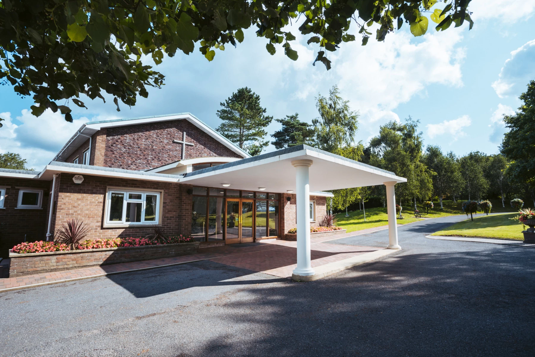
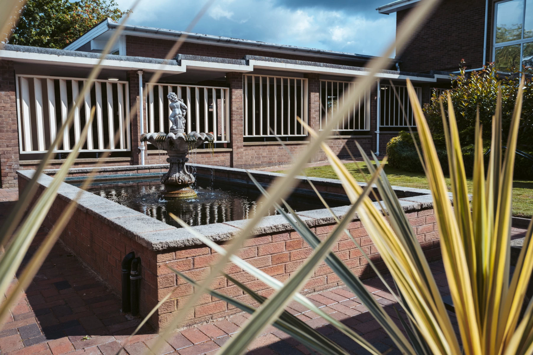
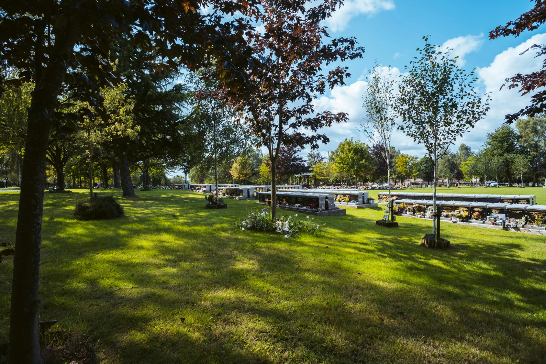
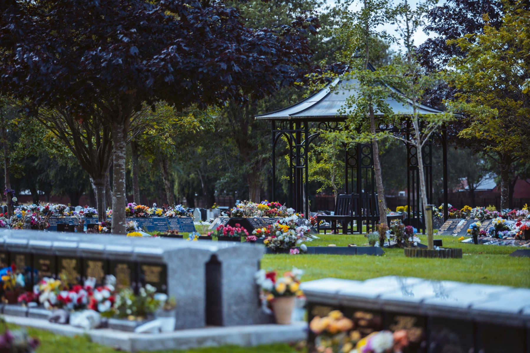
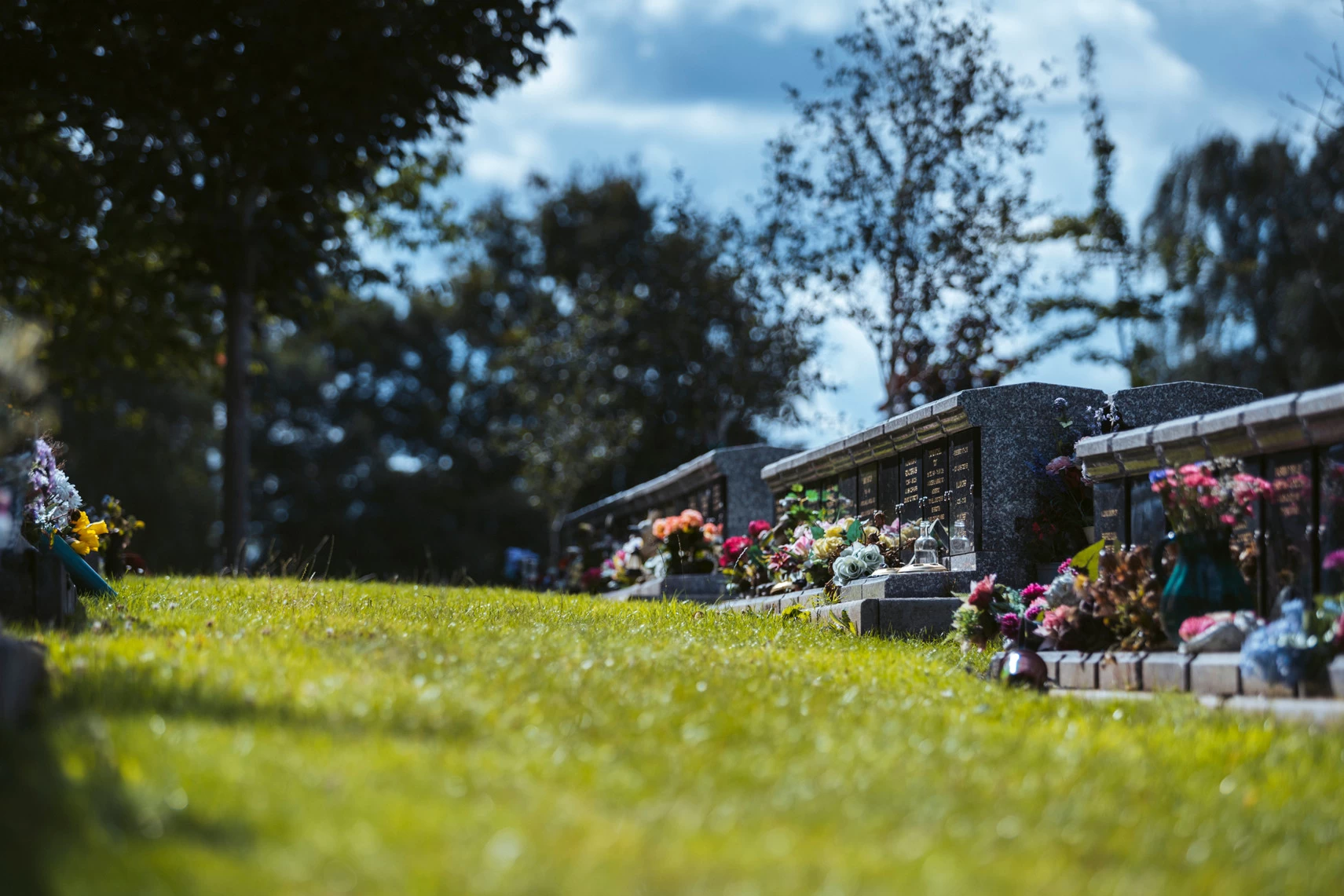
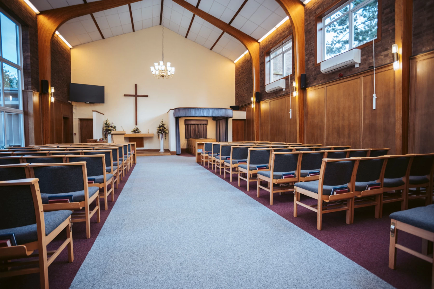
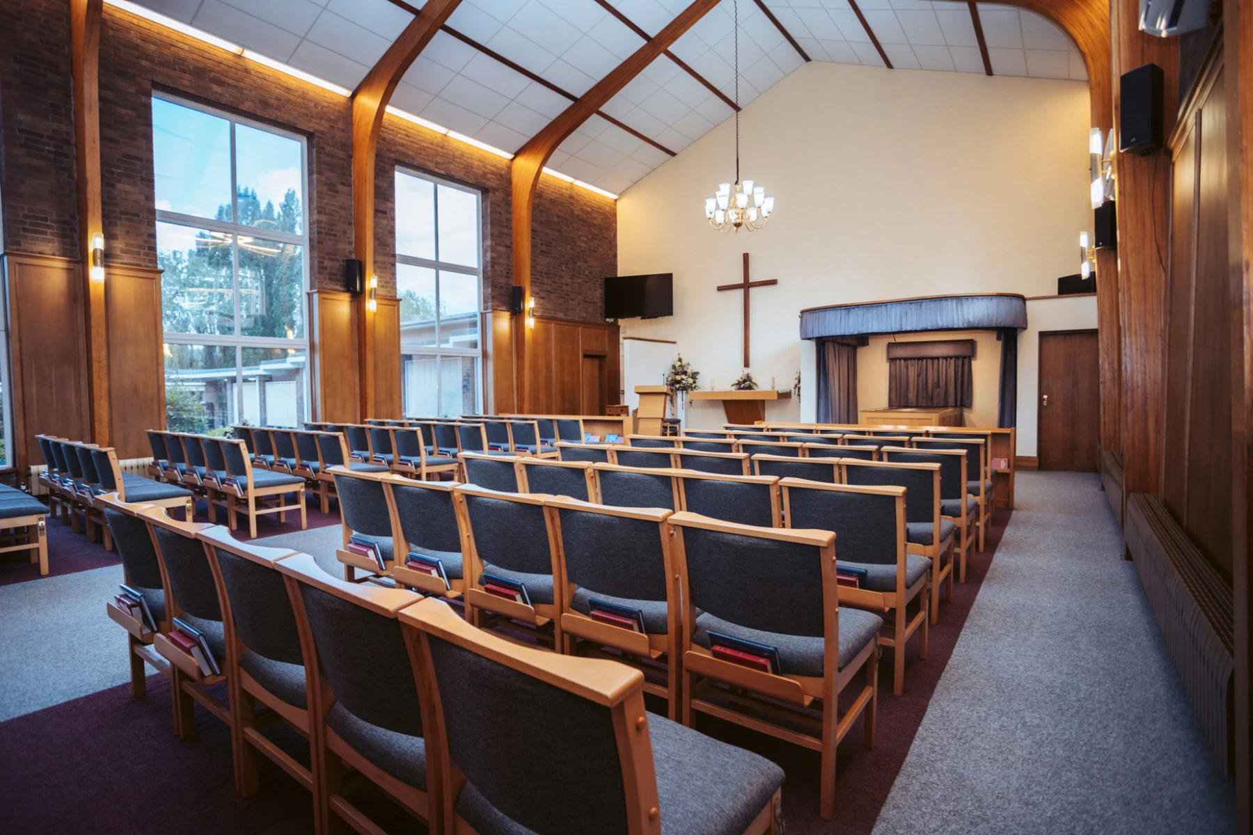
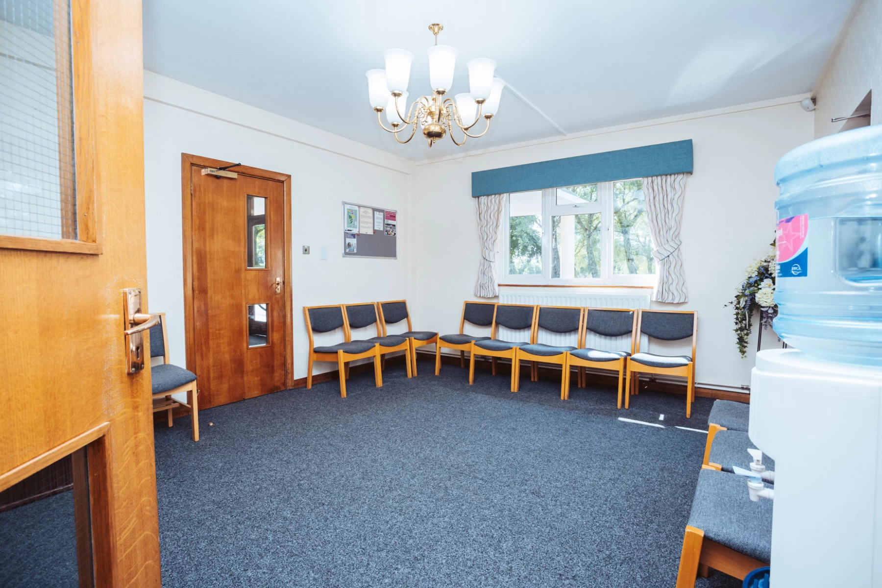
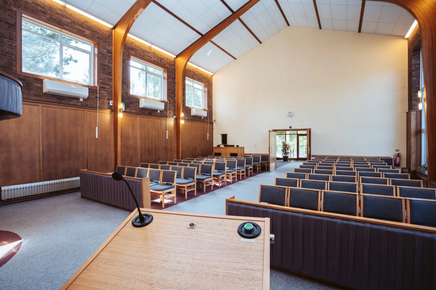
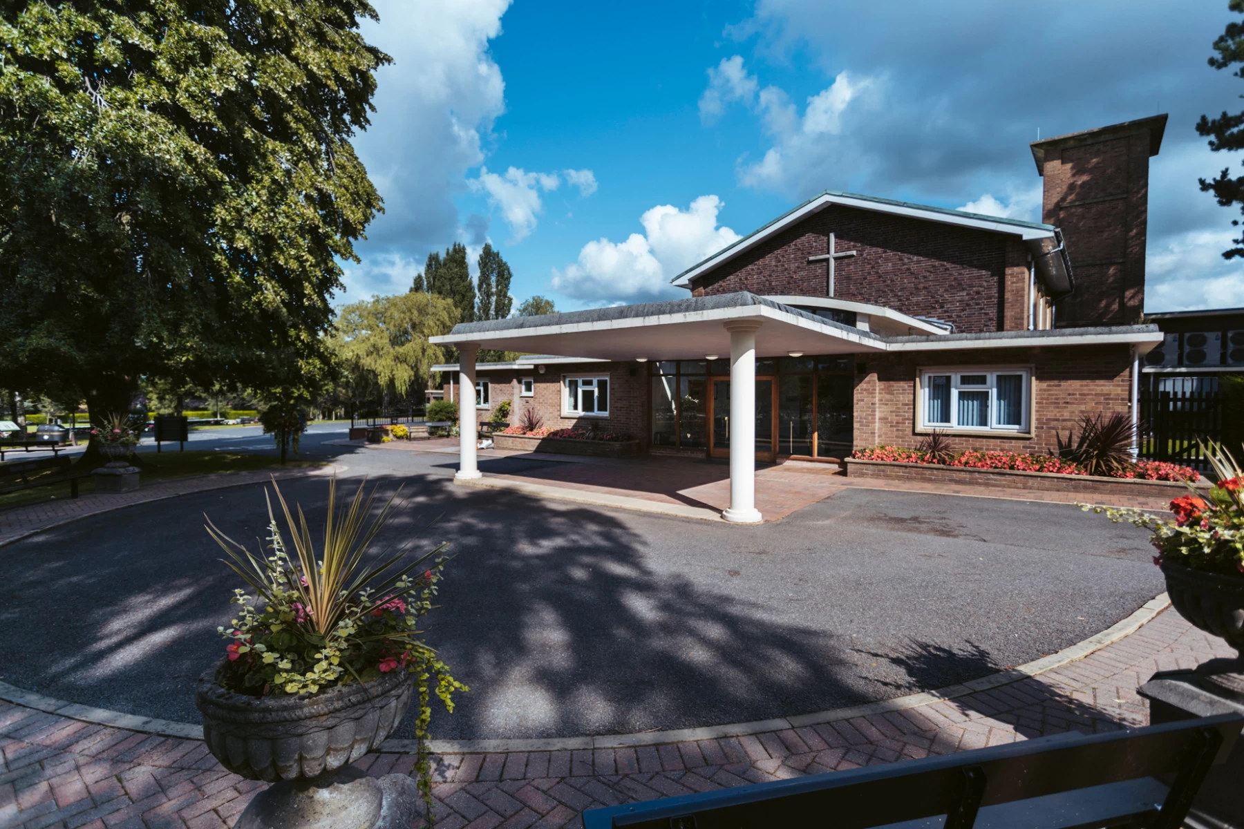
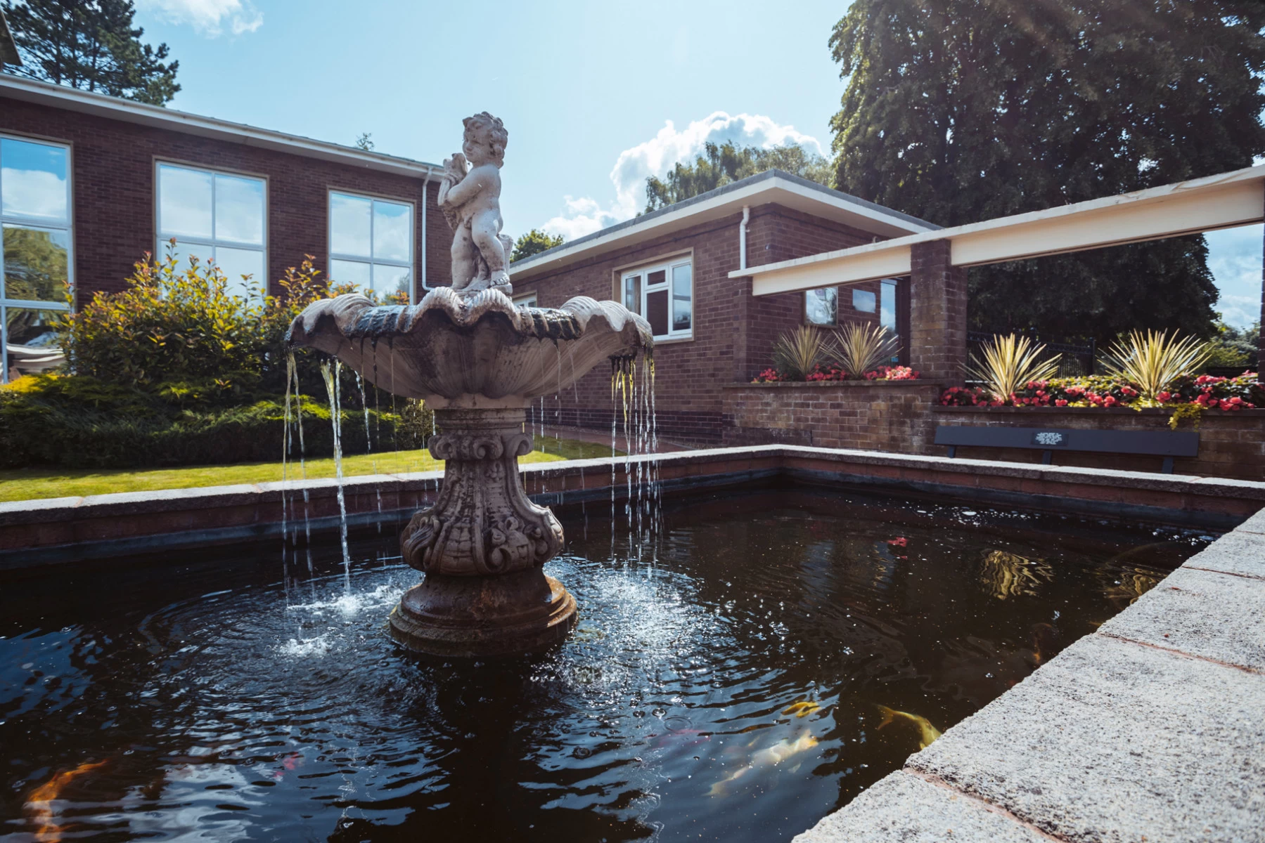
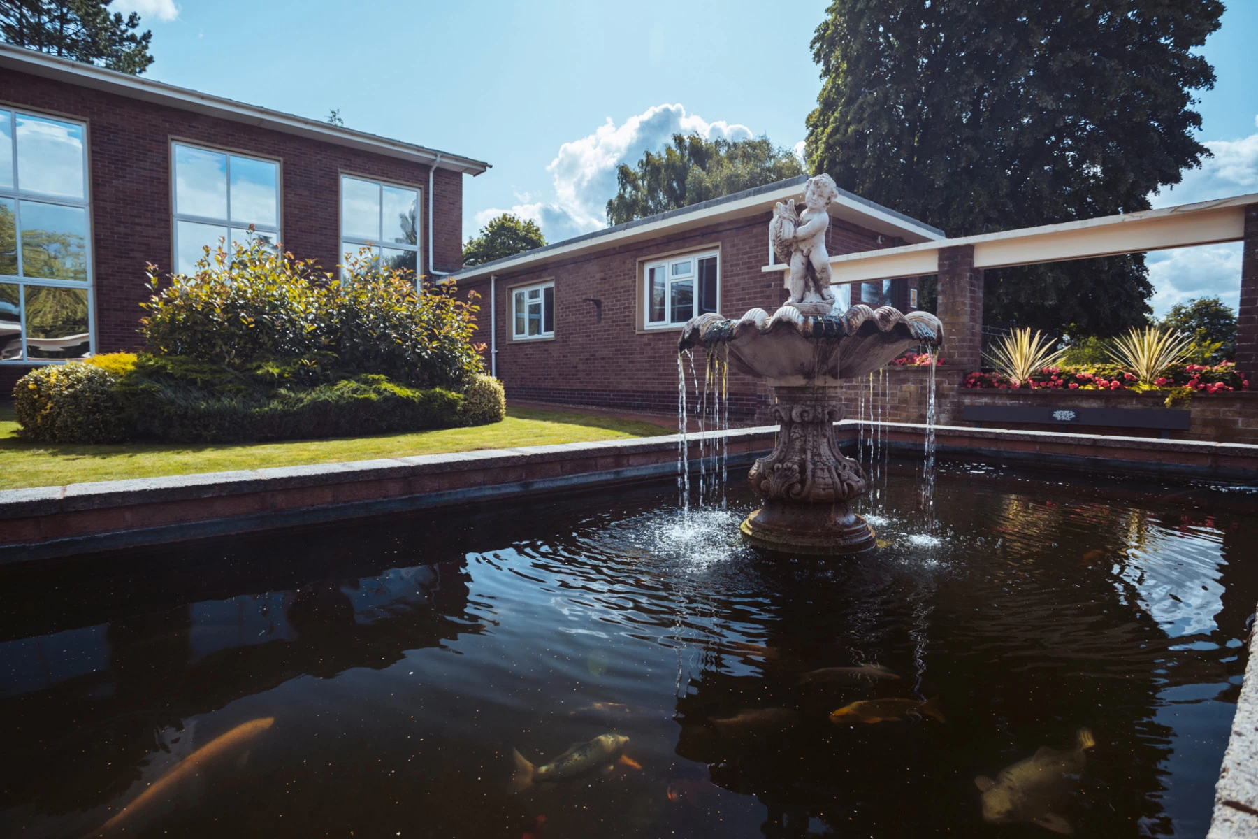
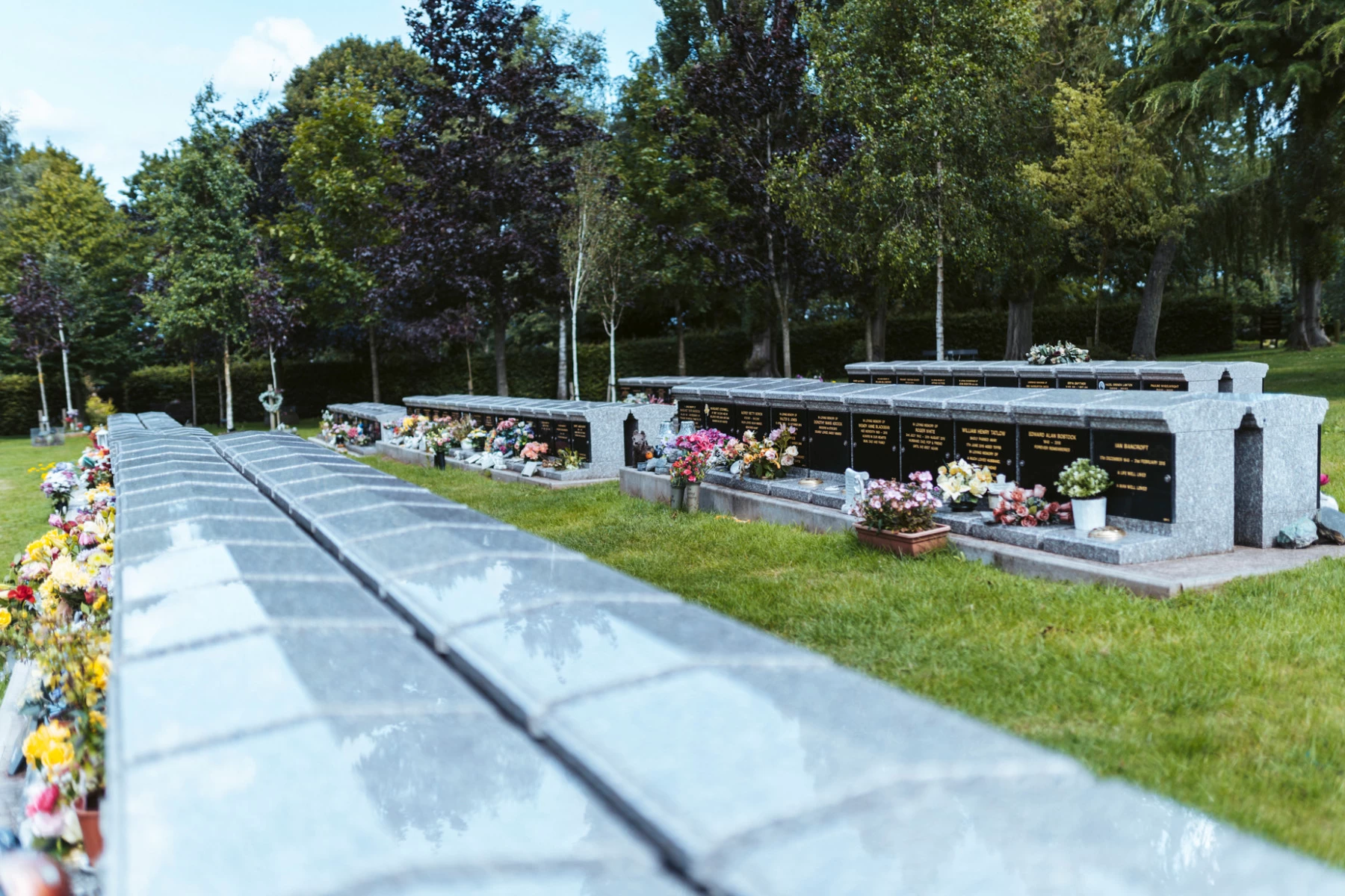
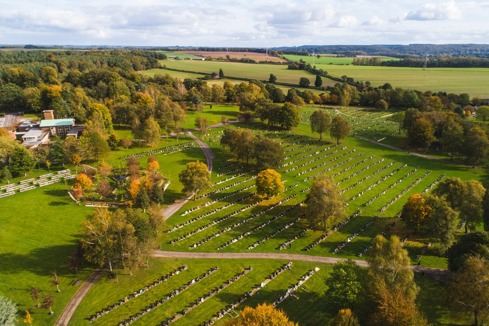
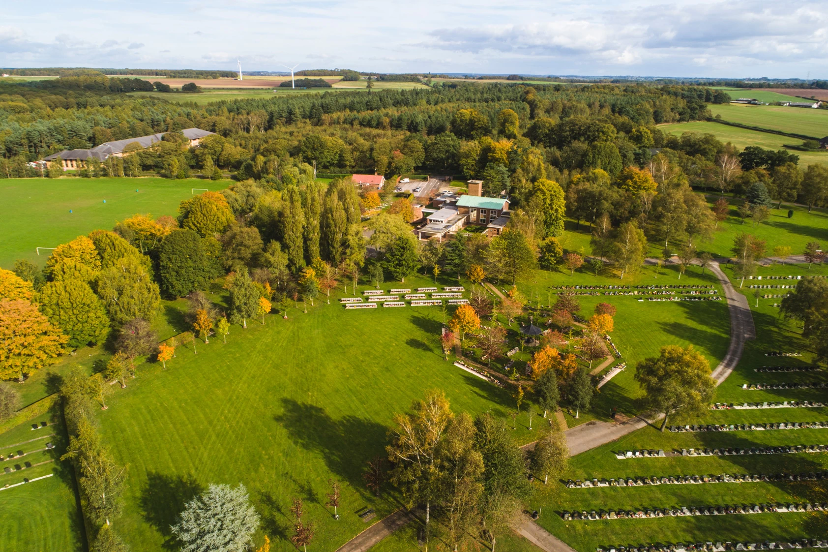
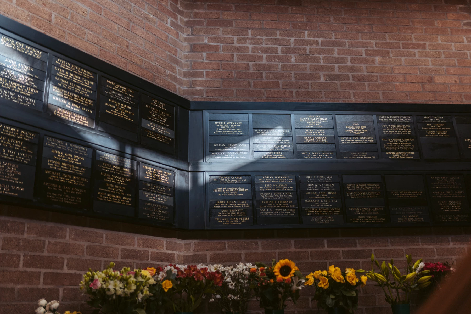
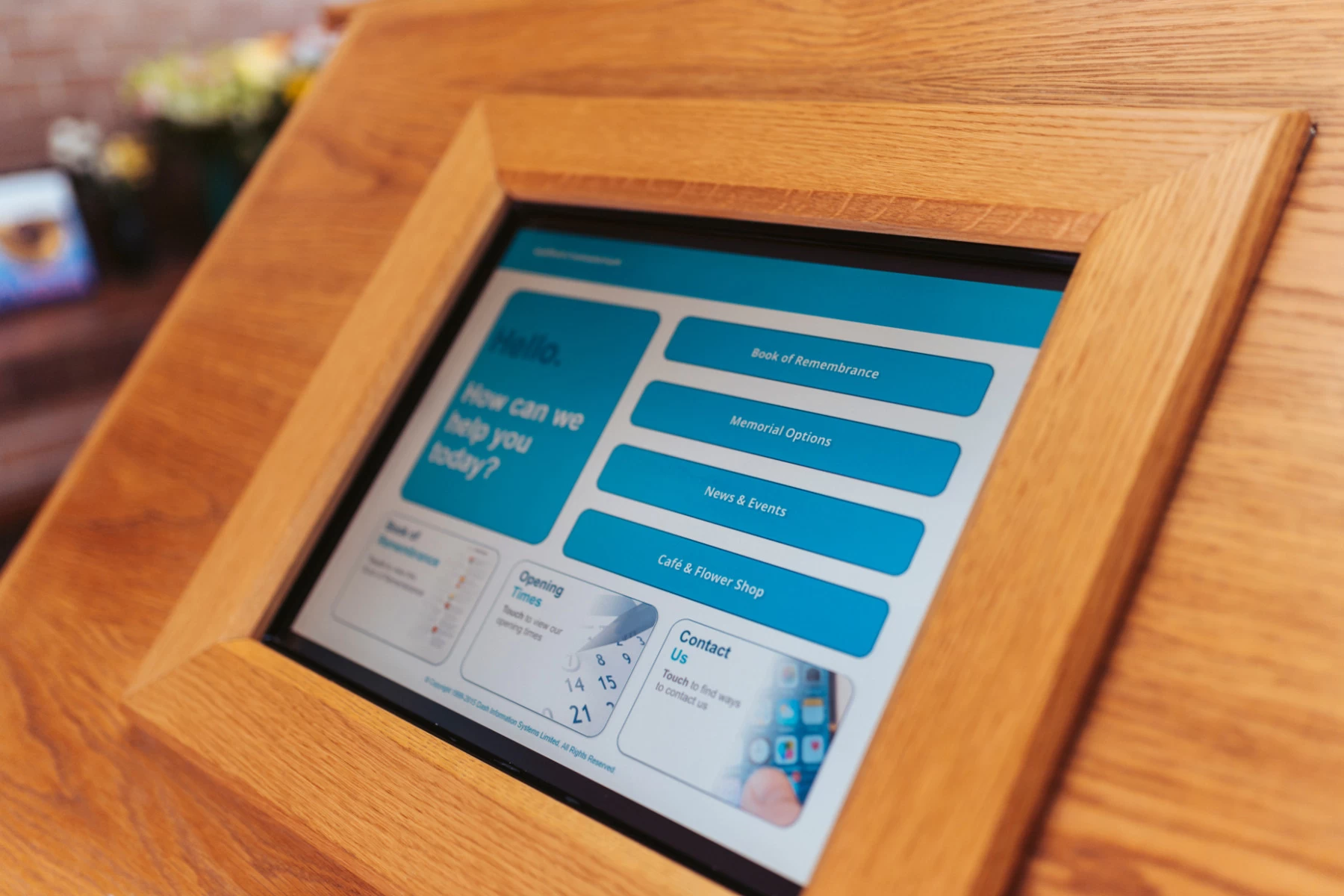
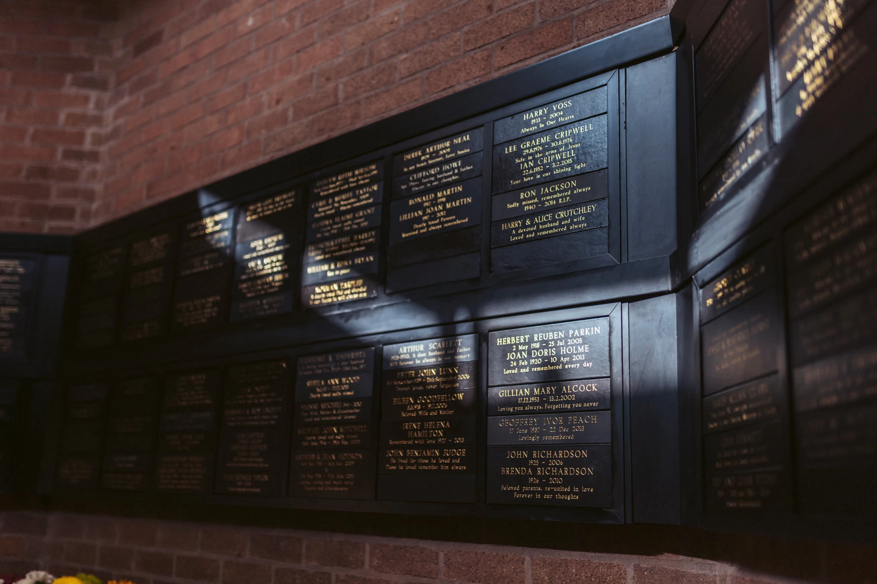
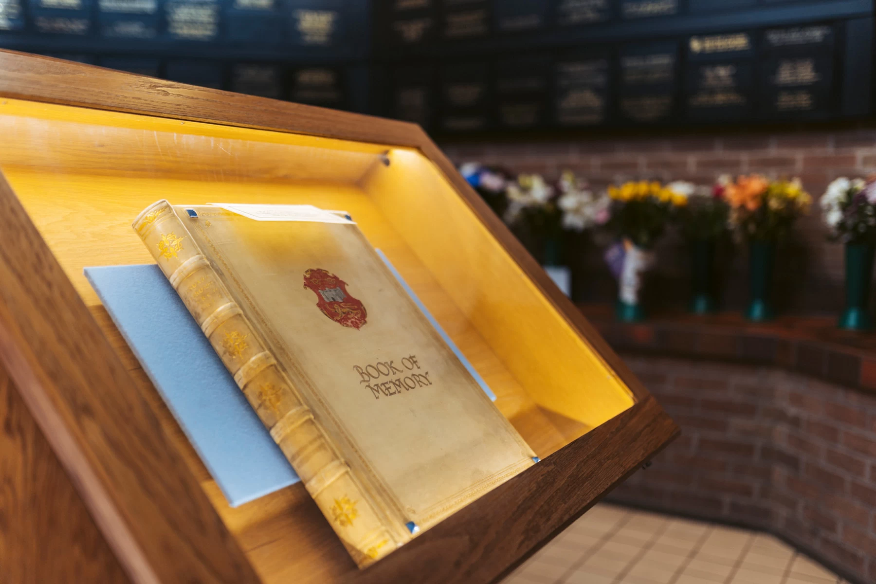
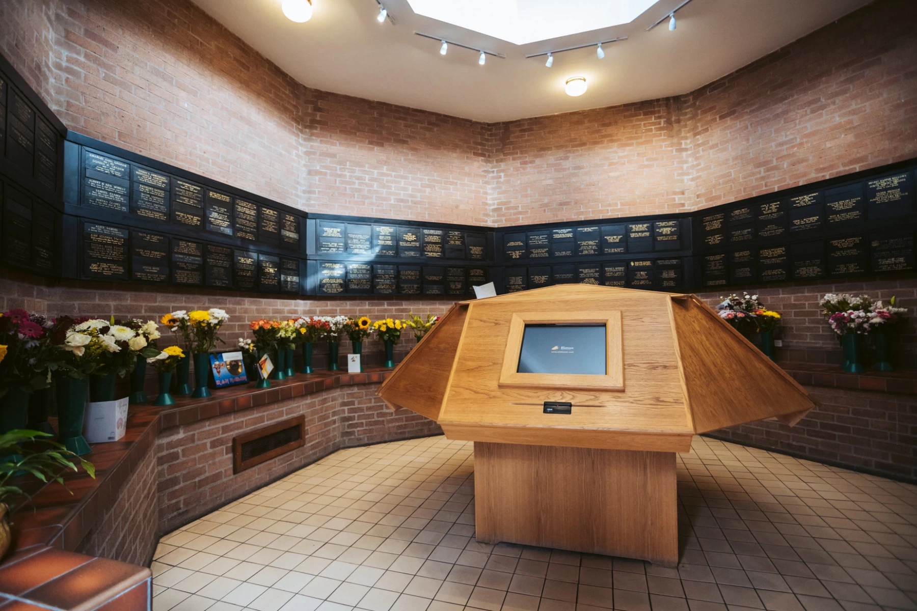
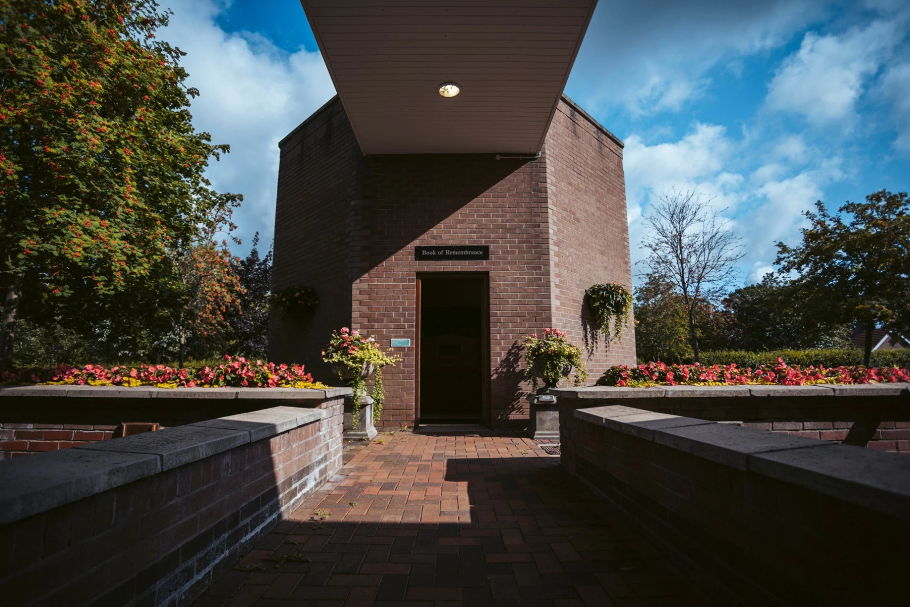
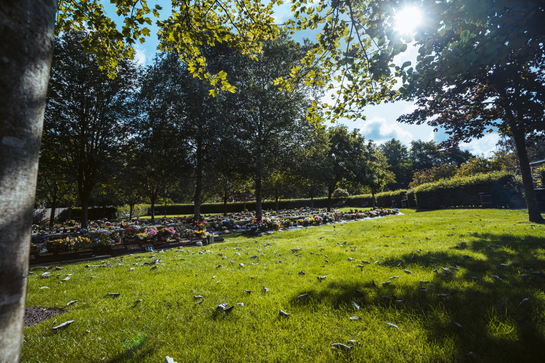
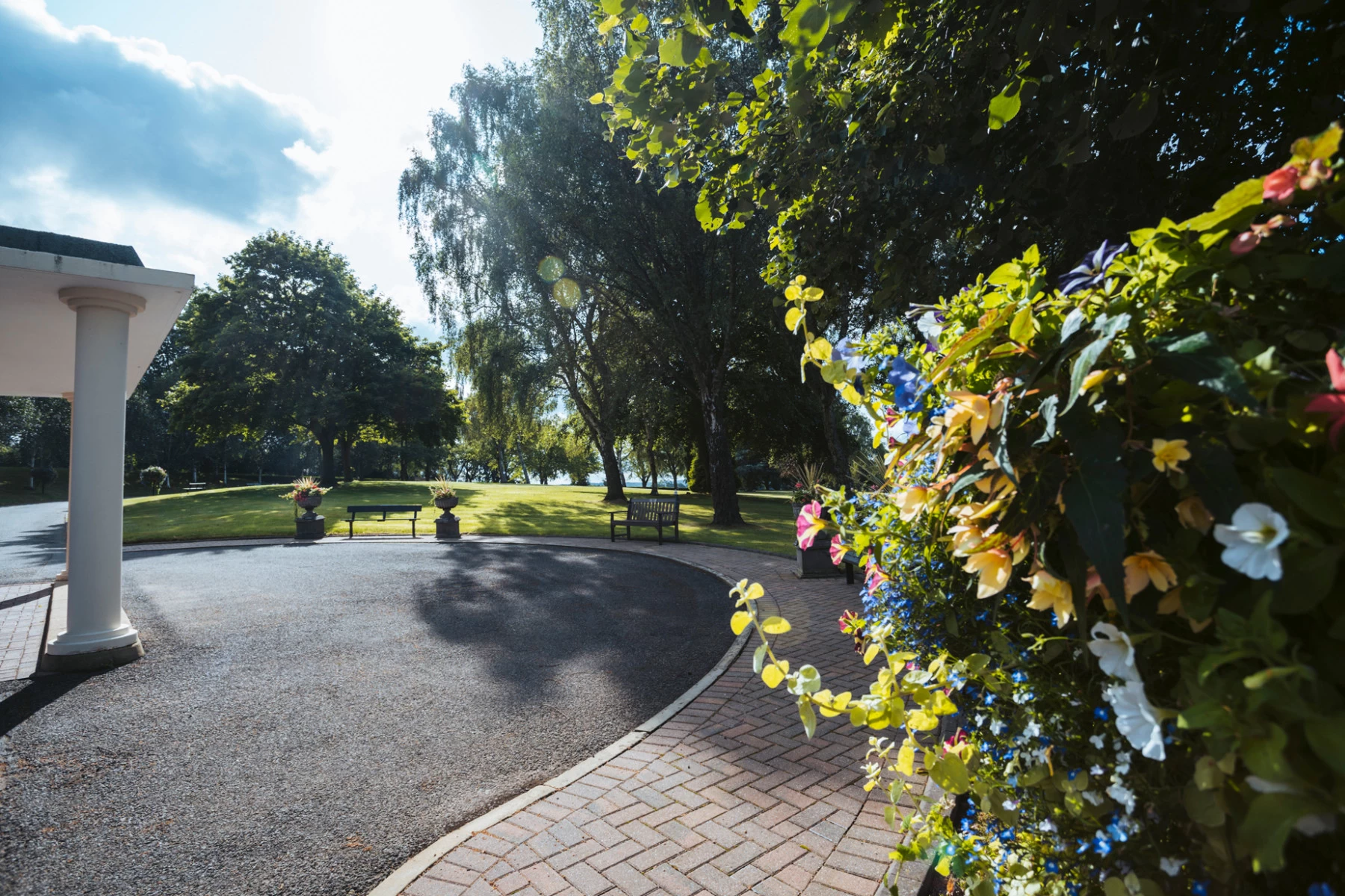
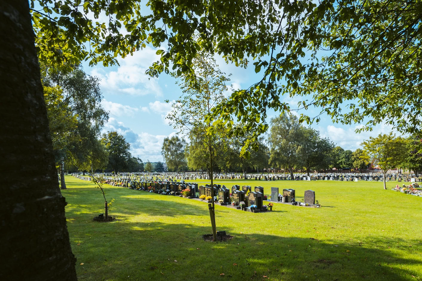
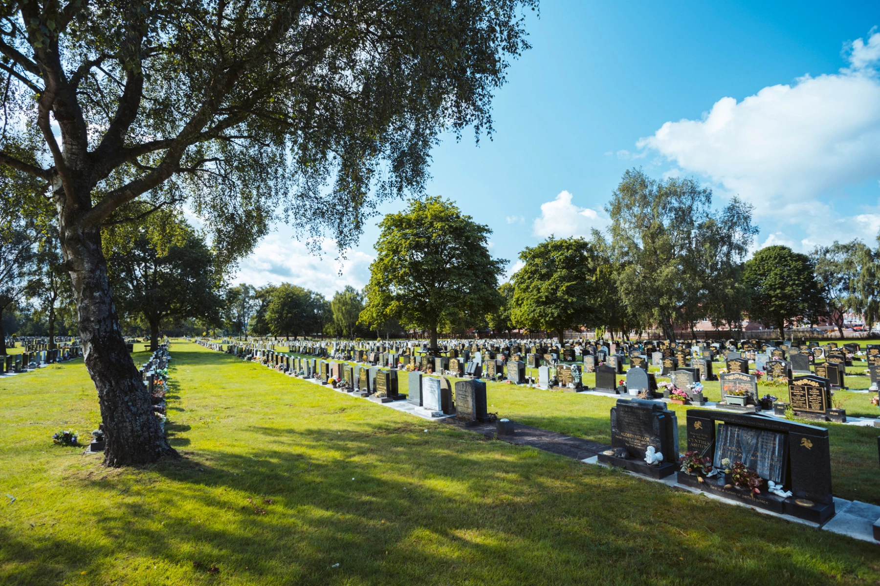
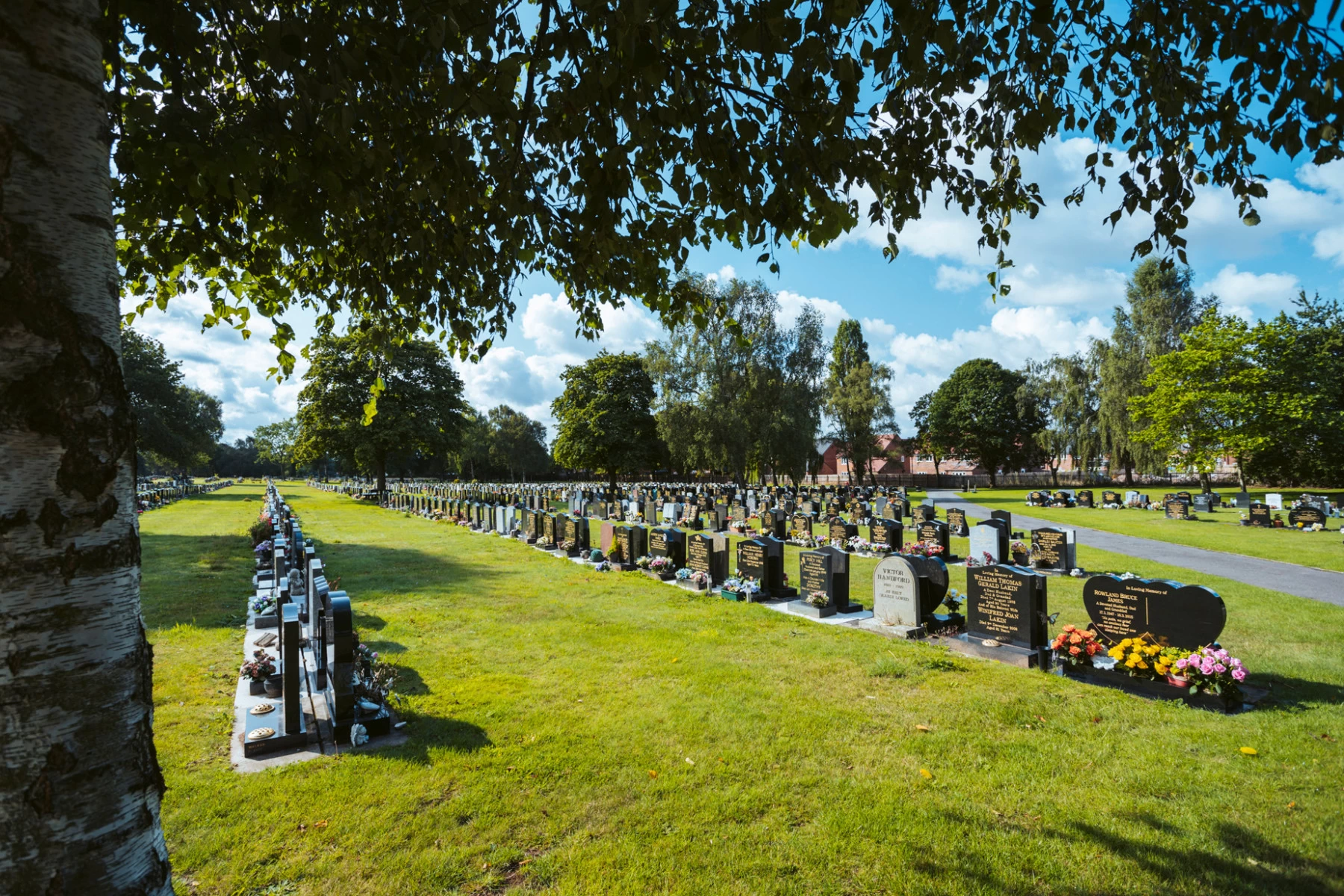
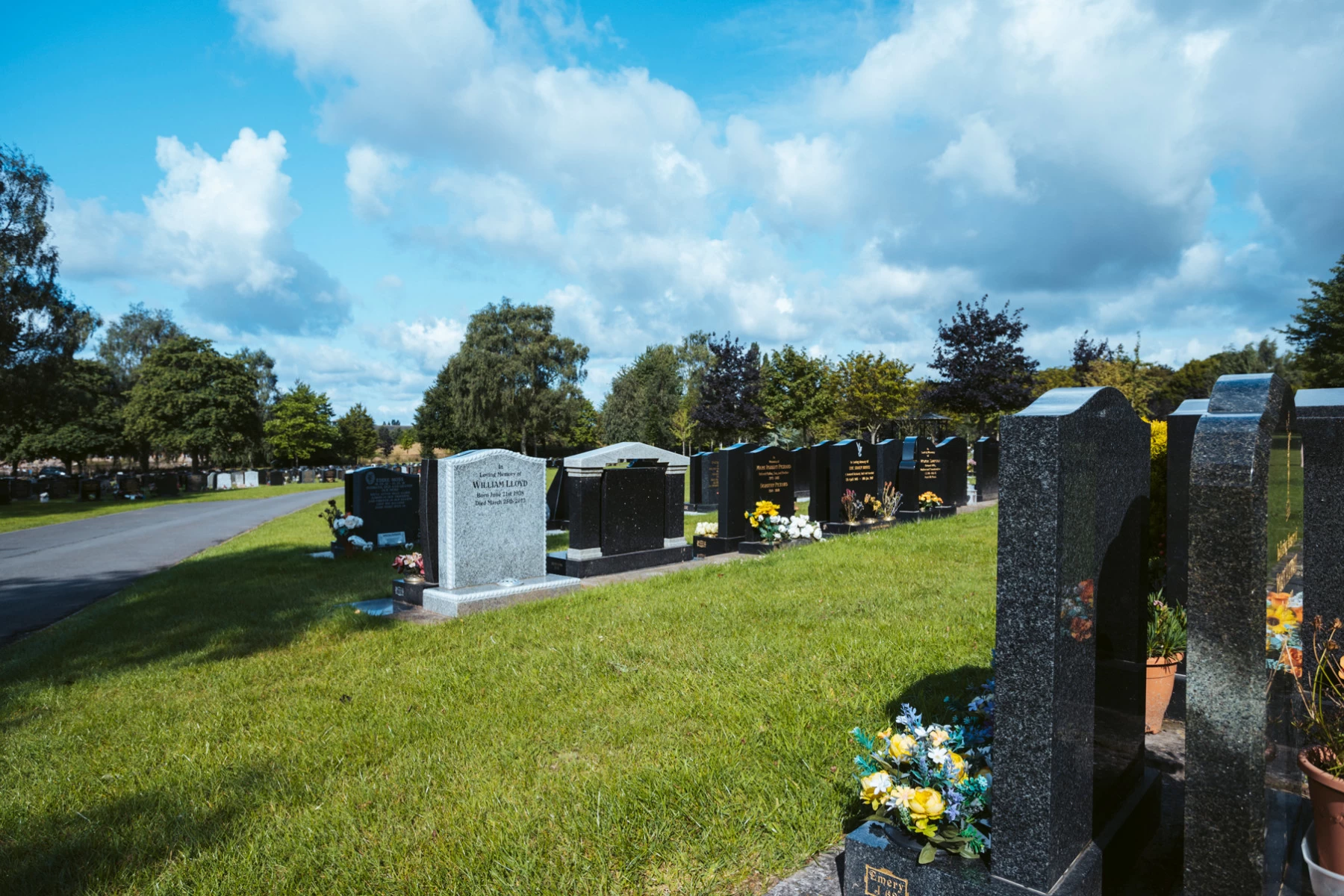
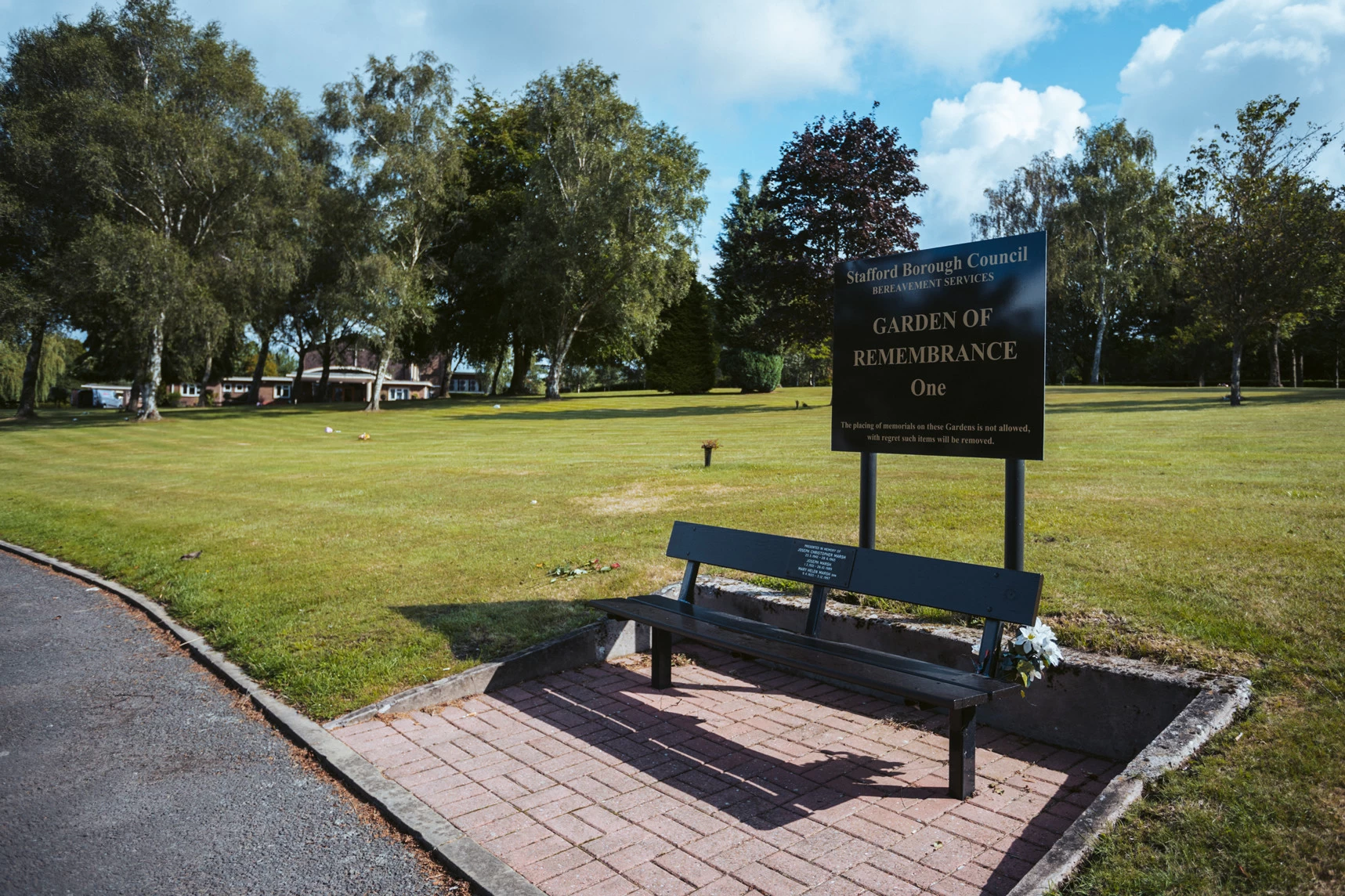
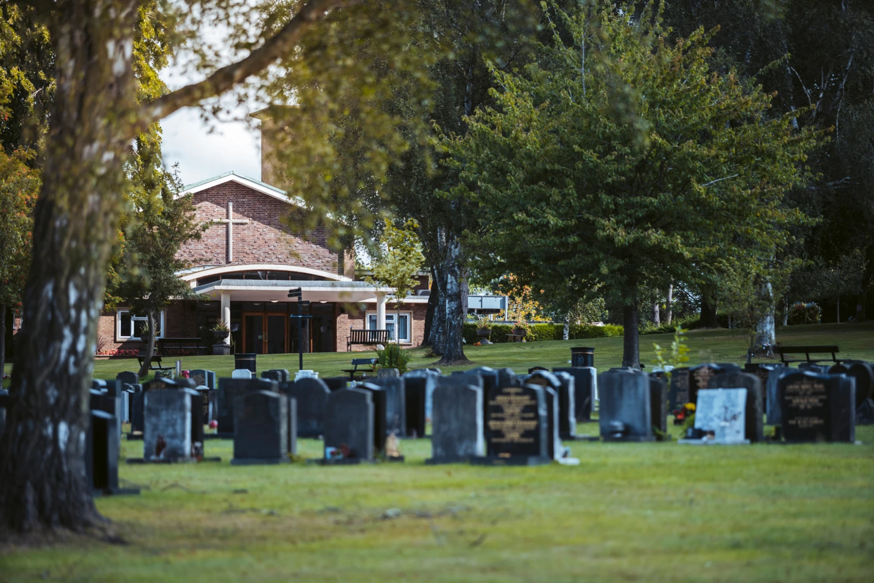
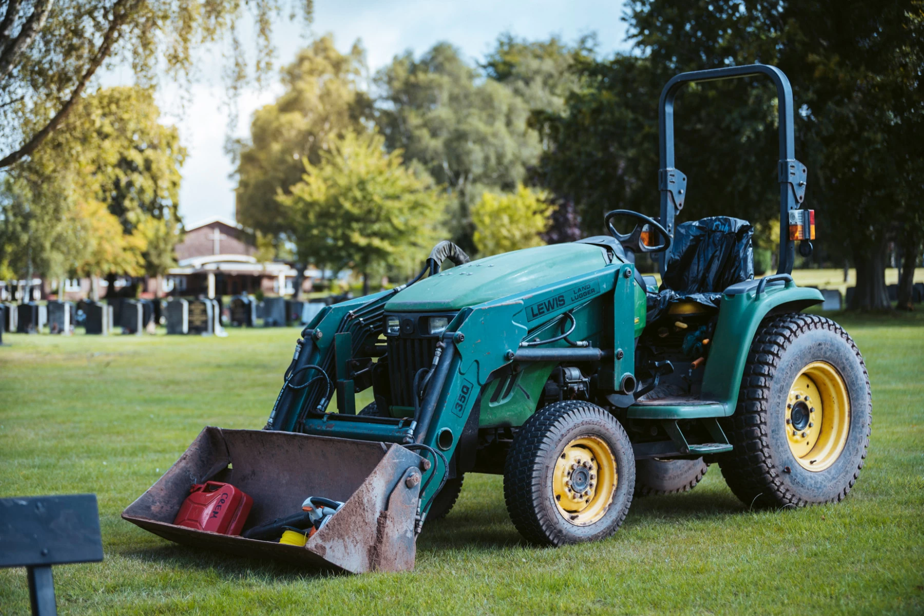
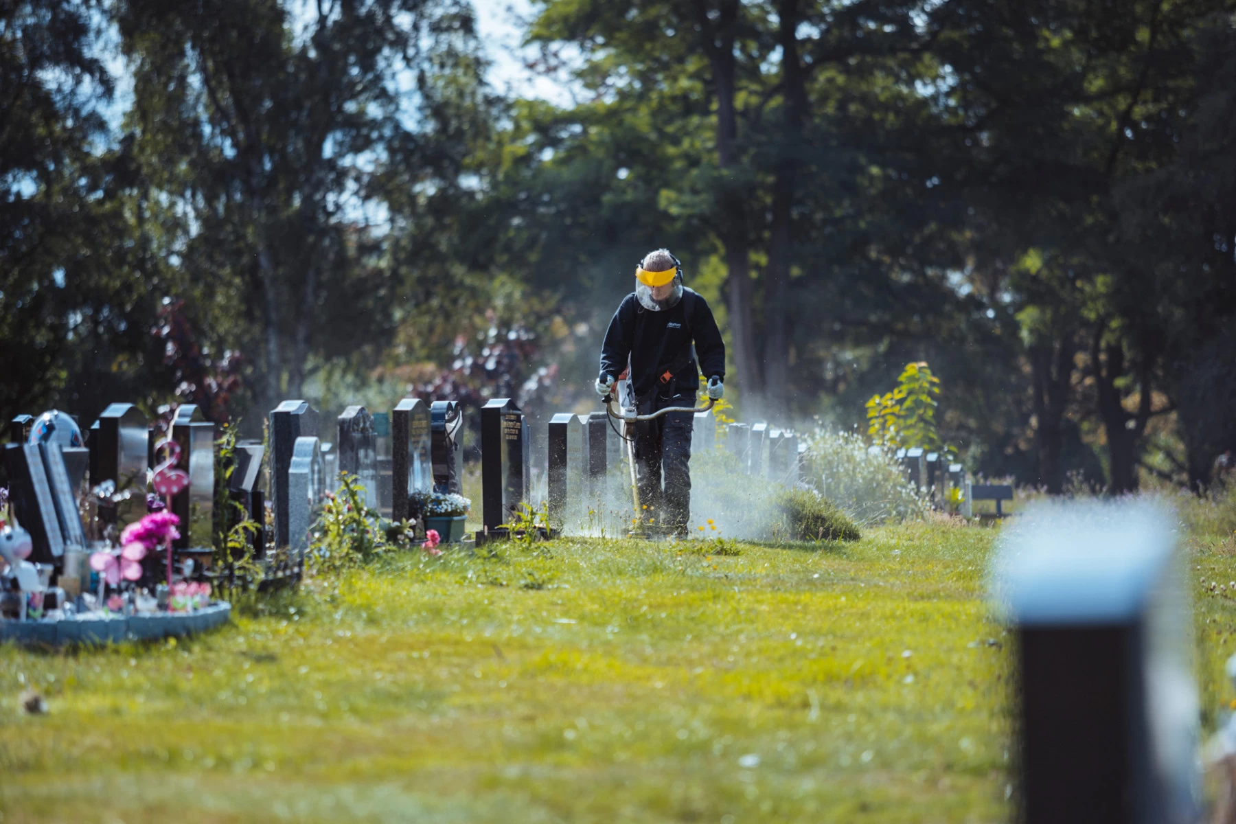
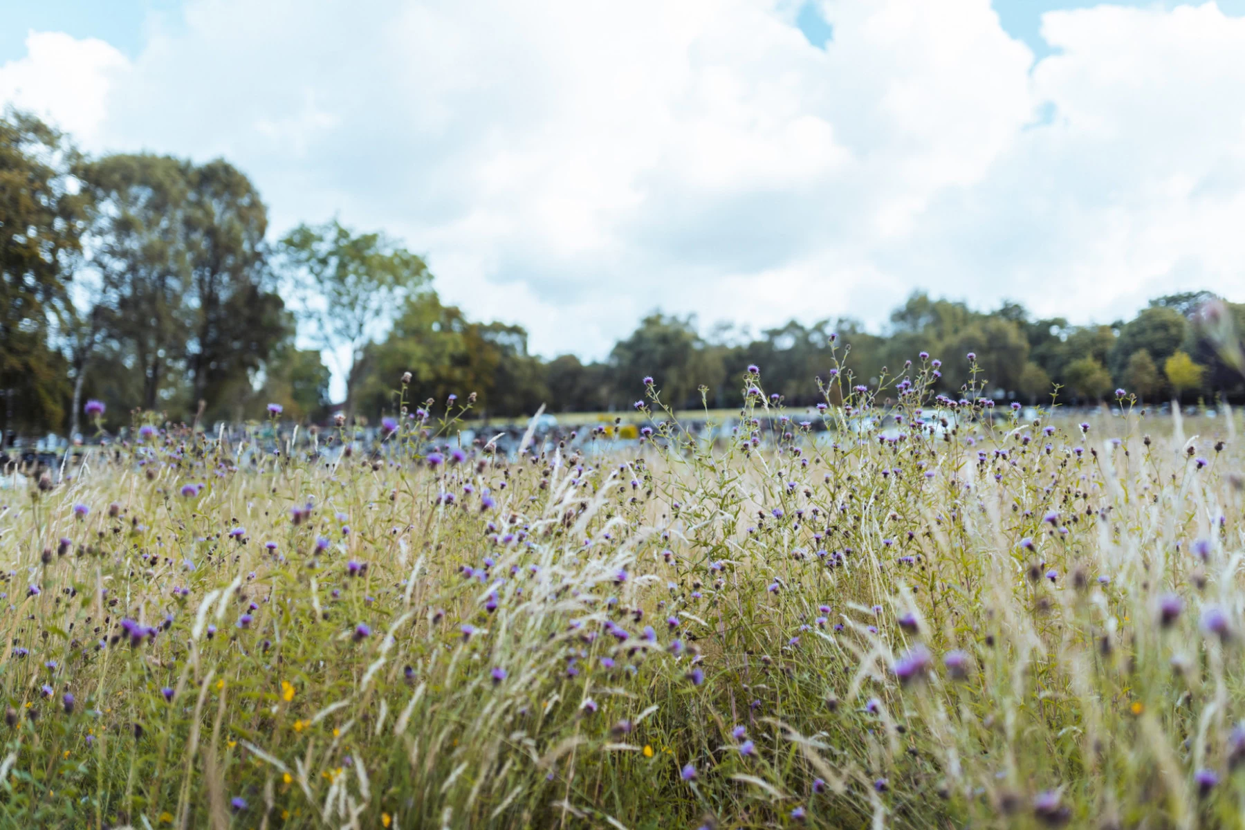
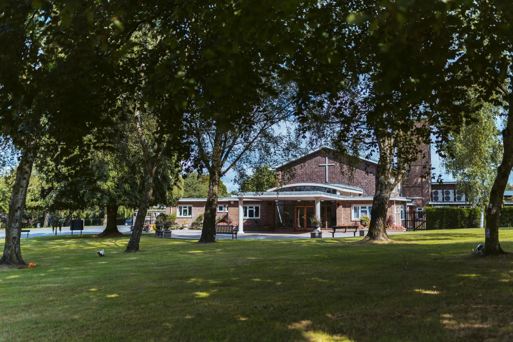
We were commissioned by Stafford Borough Council to create a collection of professional photography at Stafford Crematorium. The brief involved capturing the site from both ground level and the air, providing a comprehensive visual record of the facilities, buildings and surrounding grounds.
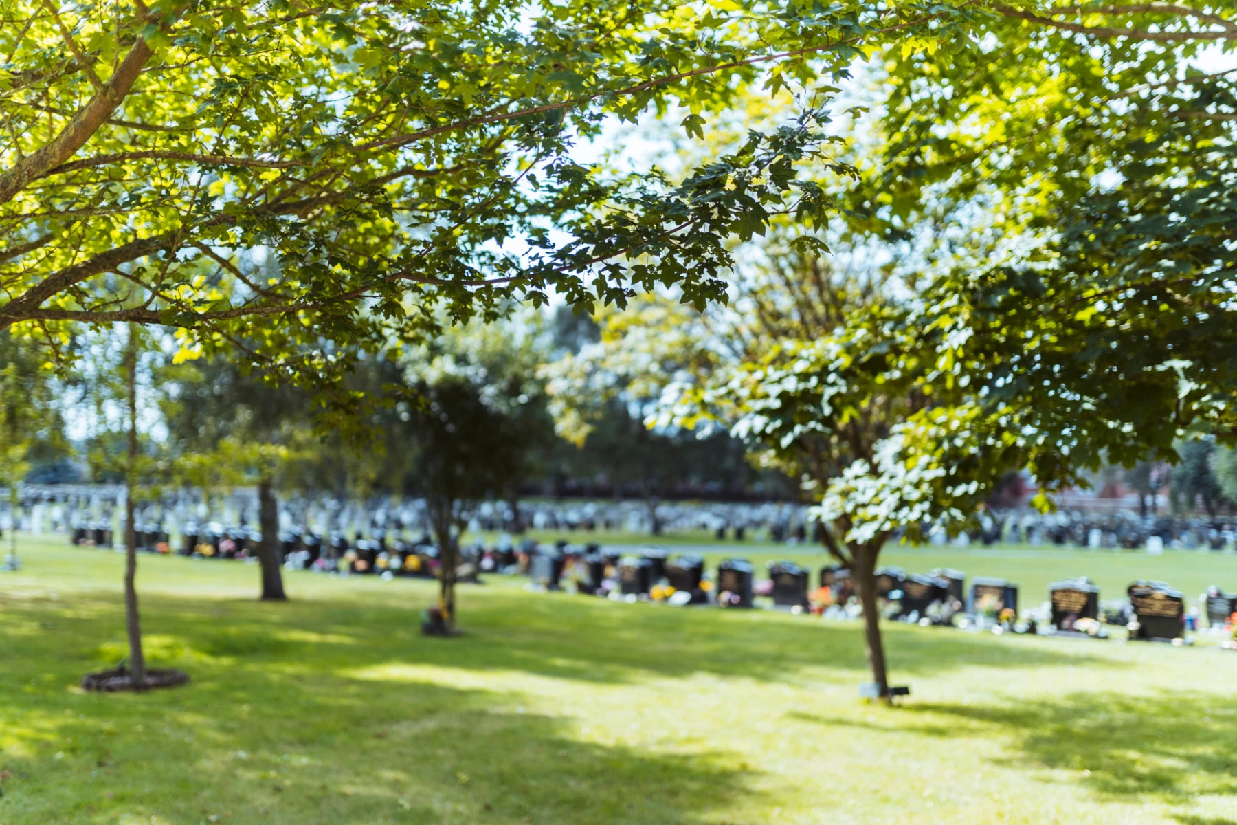
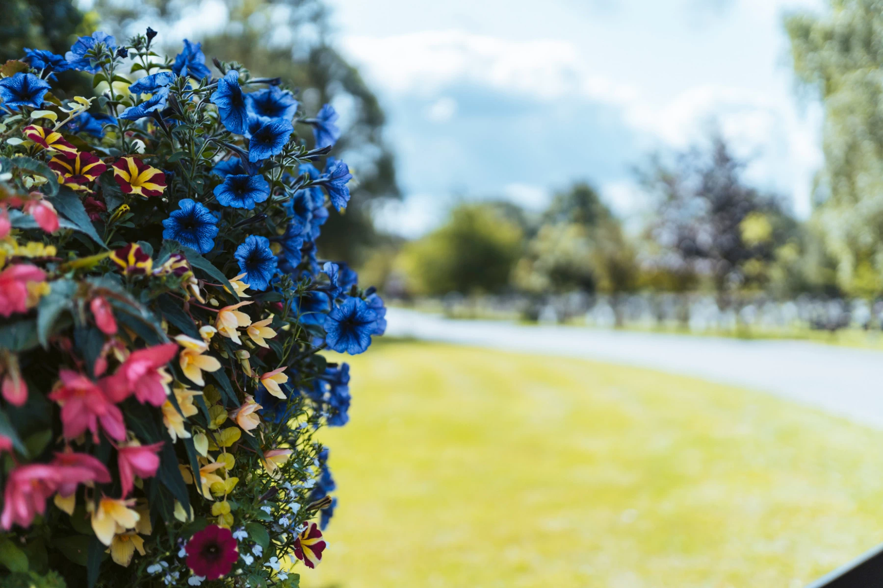
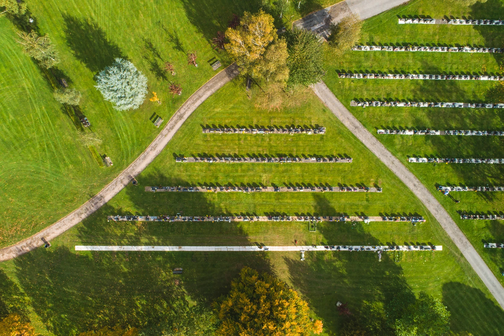
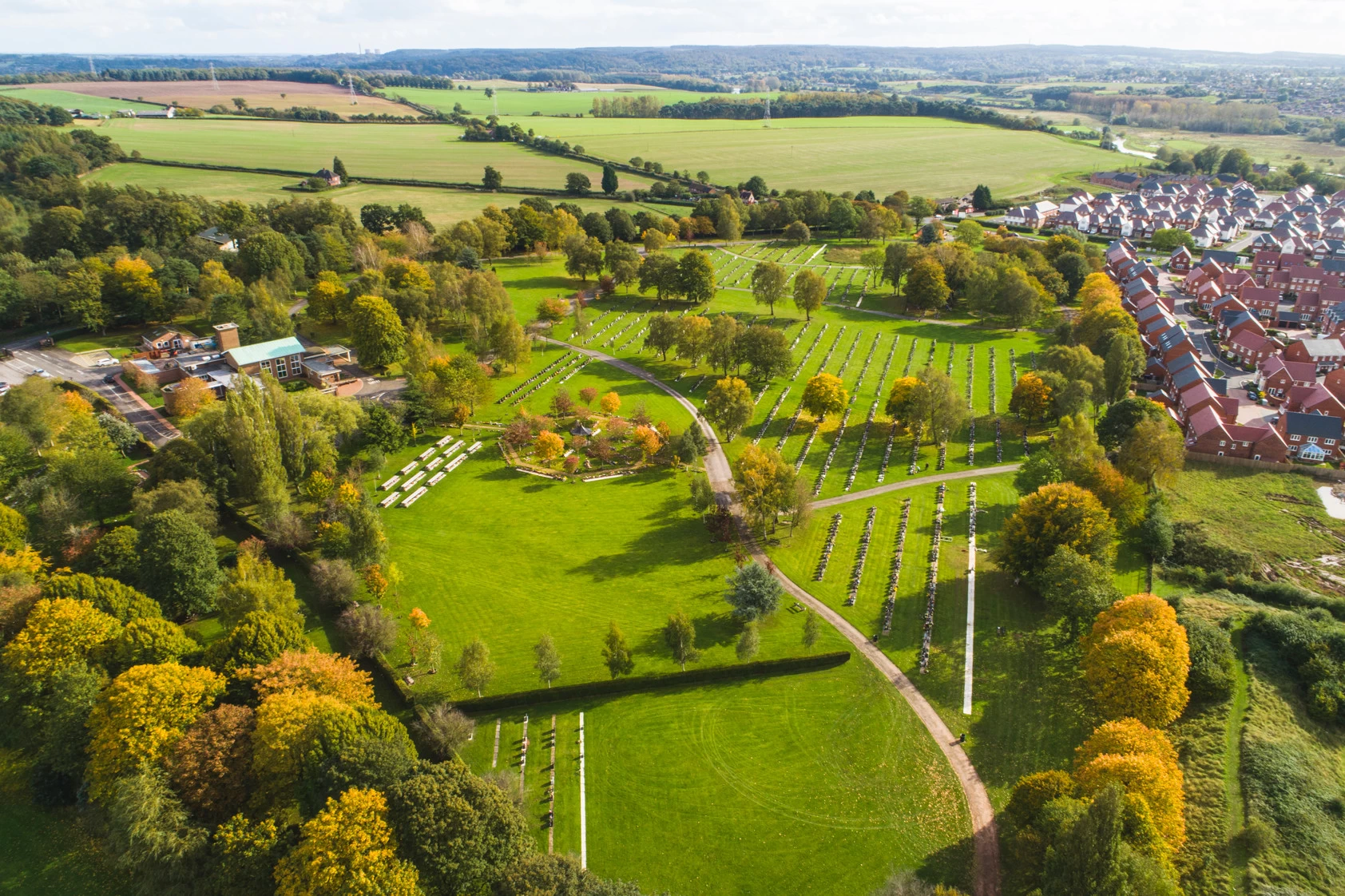
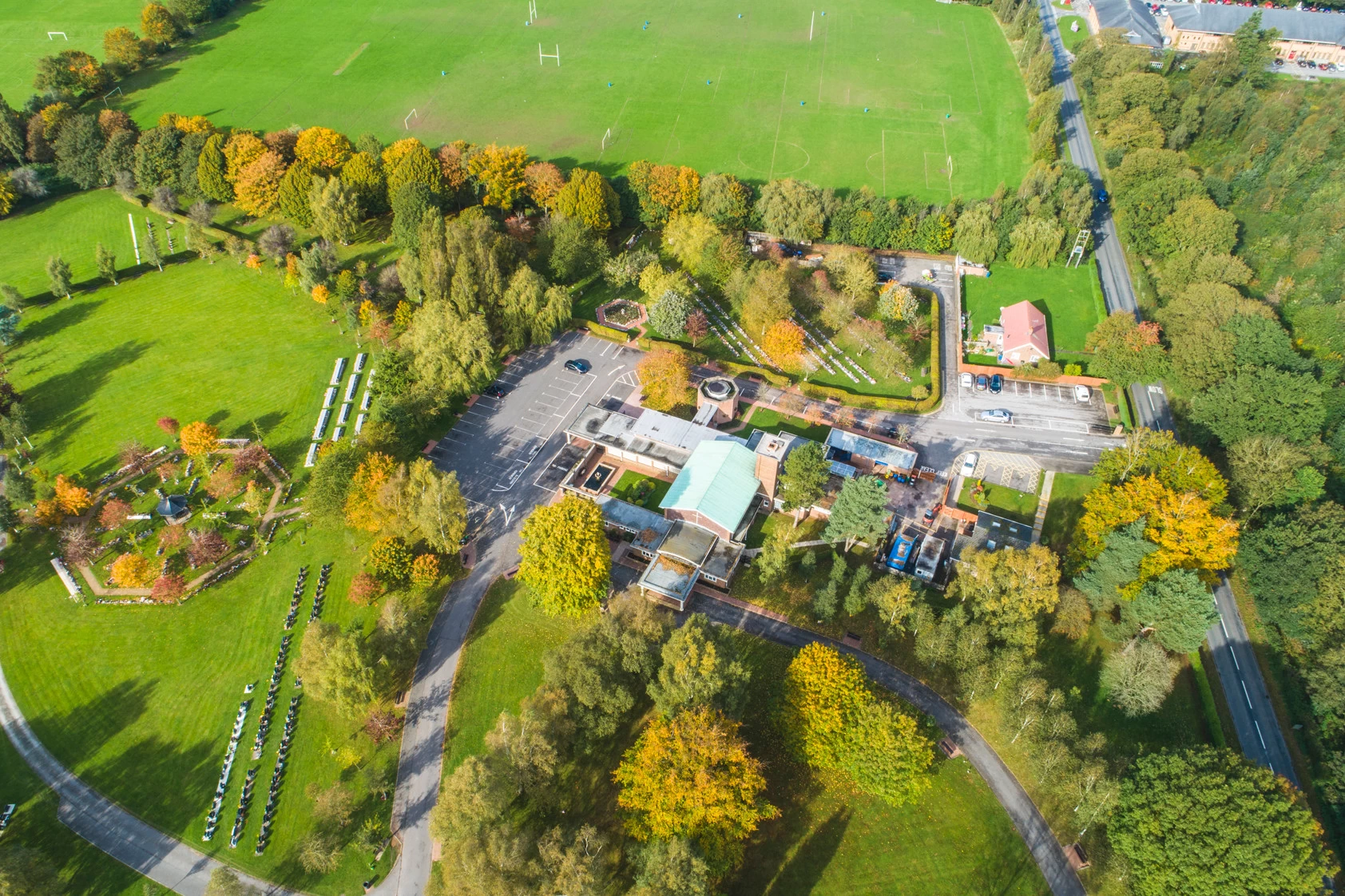
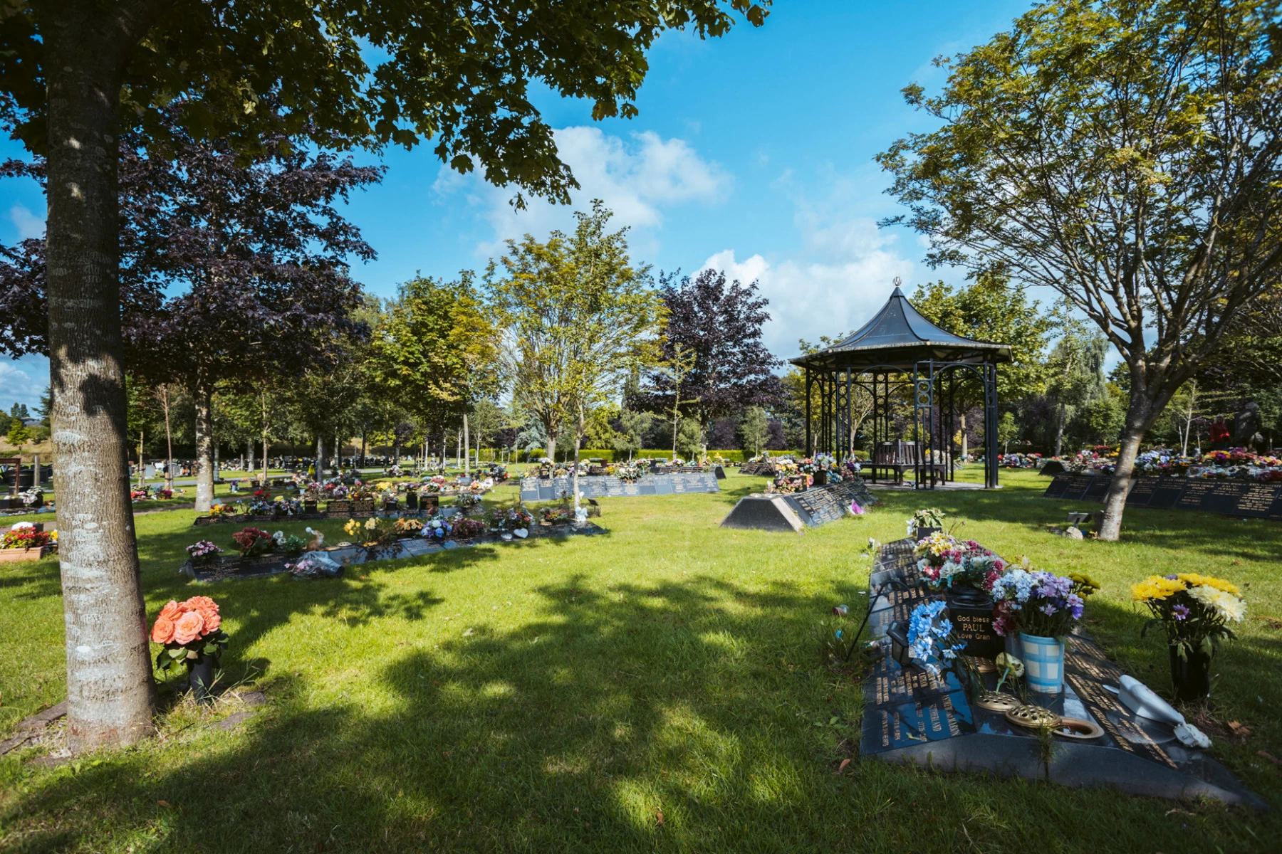
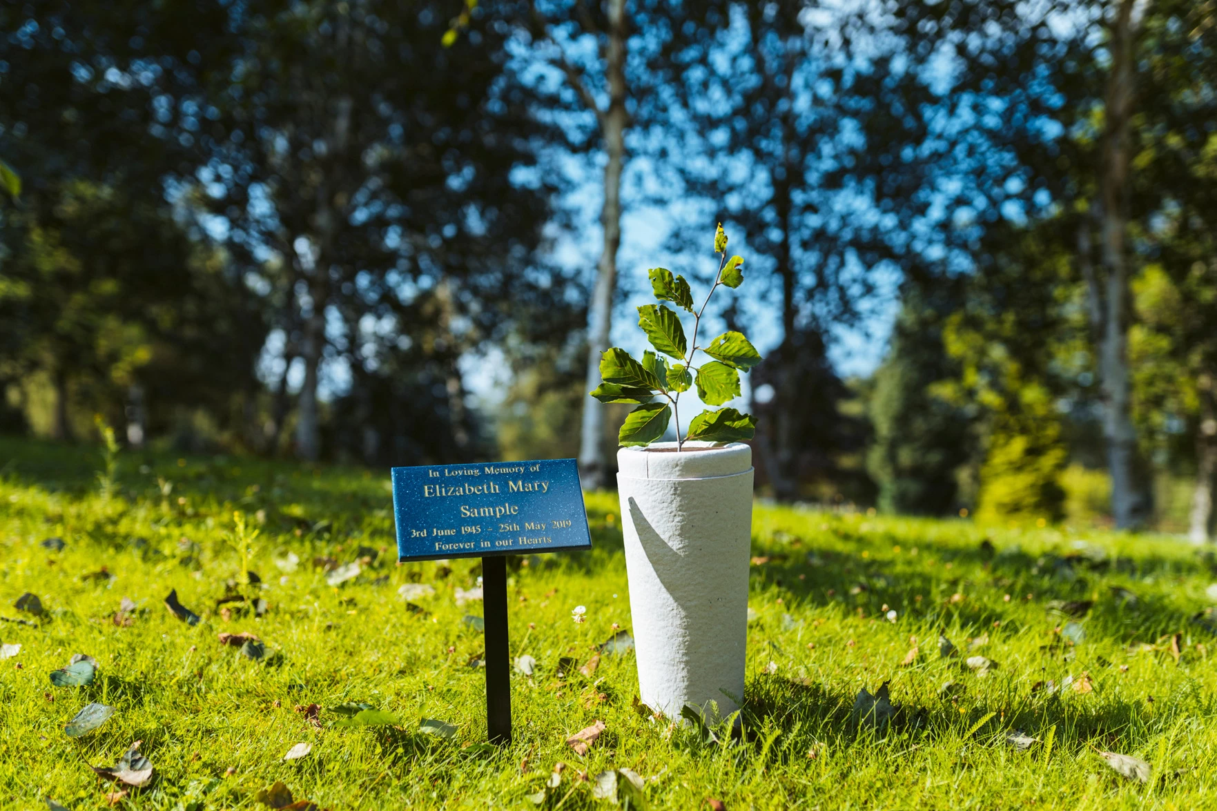
Working on location, we photographed key areas of the crematorium, capturing its buildings, landscaped grounds and wider setting. We also used drone photography to provide elevated perspectives, showing the layout of the site and its surroundings in a way that would not be possible with ground-level images alone.
The resulting collection gives Stafford Borough Council a versatile set of images for use across its website, communications and wider marketing materials. Combining traditional photography with aerial imagery provides a well-rounded view of the crematorium, helping to showcase the facilities and the setting in which they are located.
Browse the gallery below to see a selection of our photography and aerial imagery for Stafford Borough Council.

Ready to start your project?
