
Aerial Photography and Video for Stafford Borough Council’s Local Plan
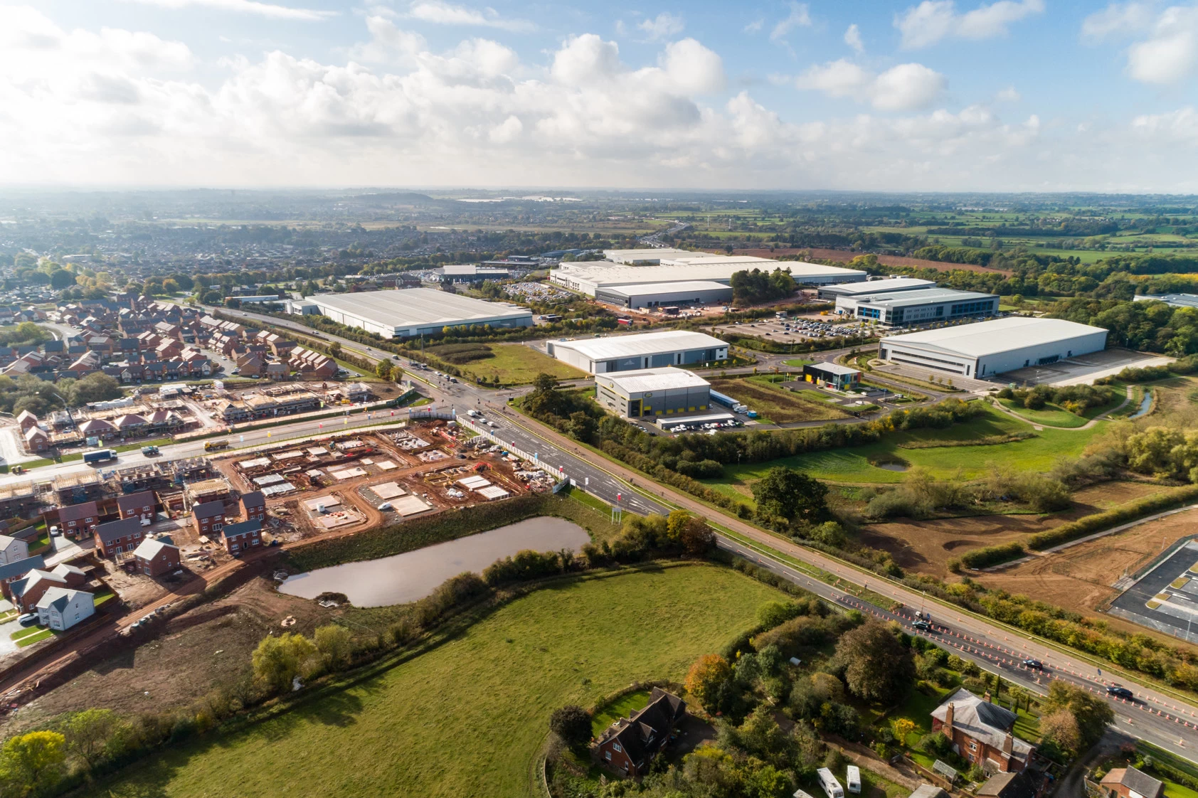
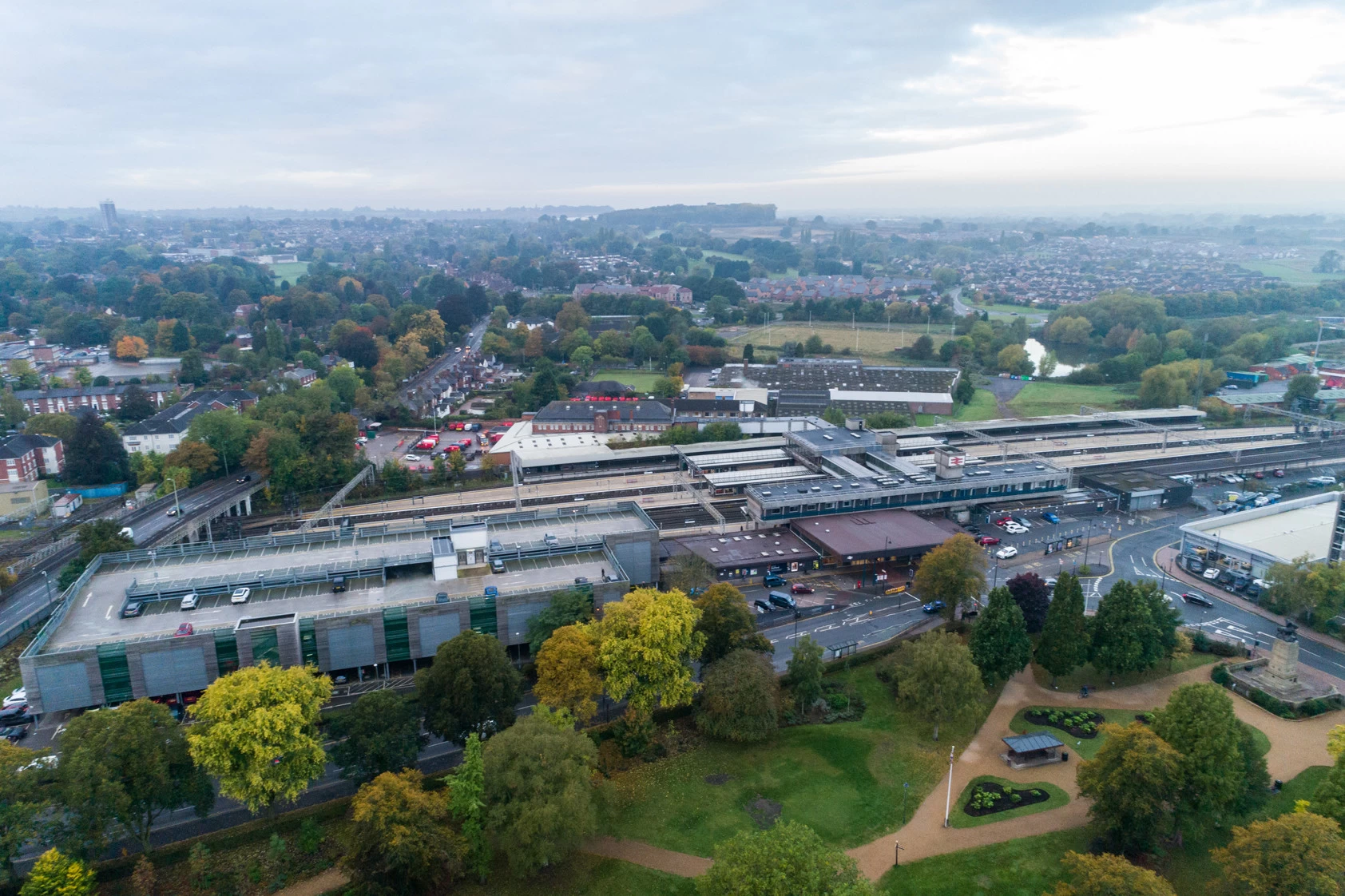
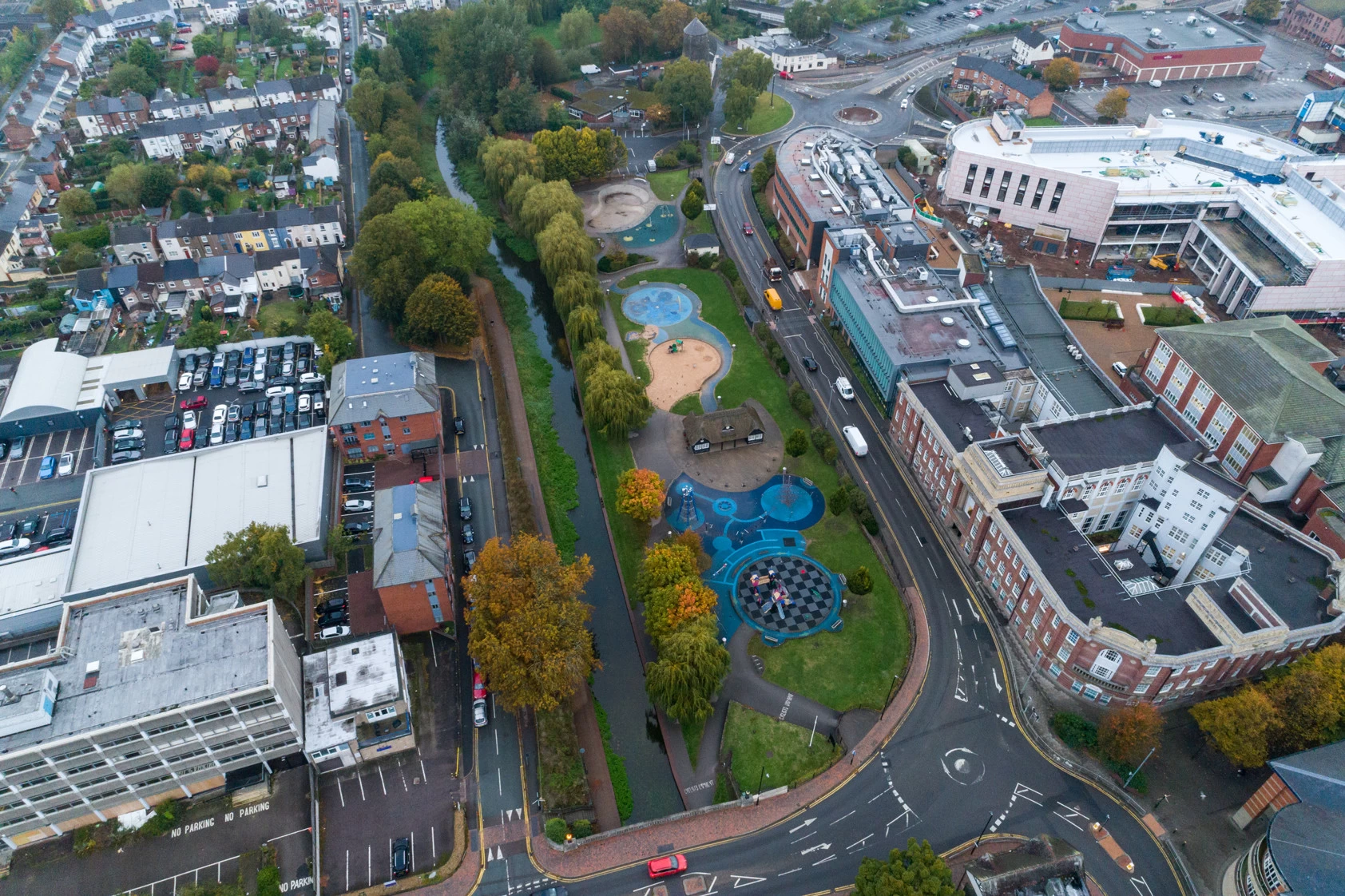
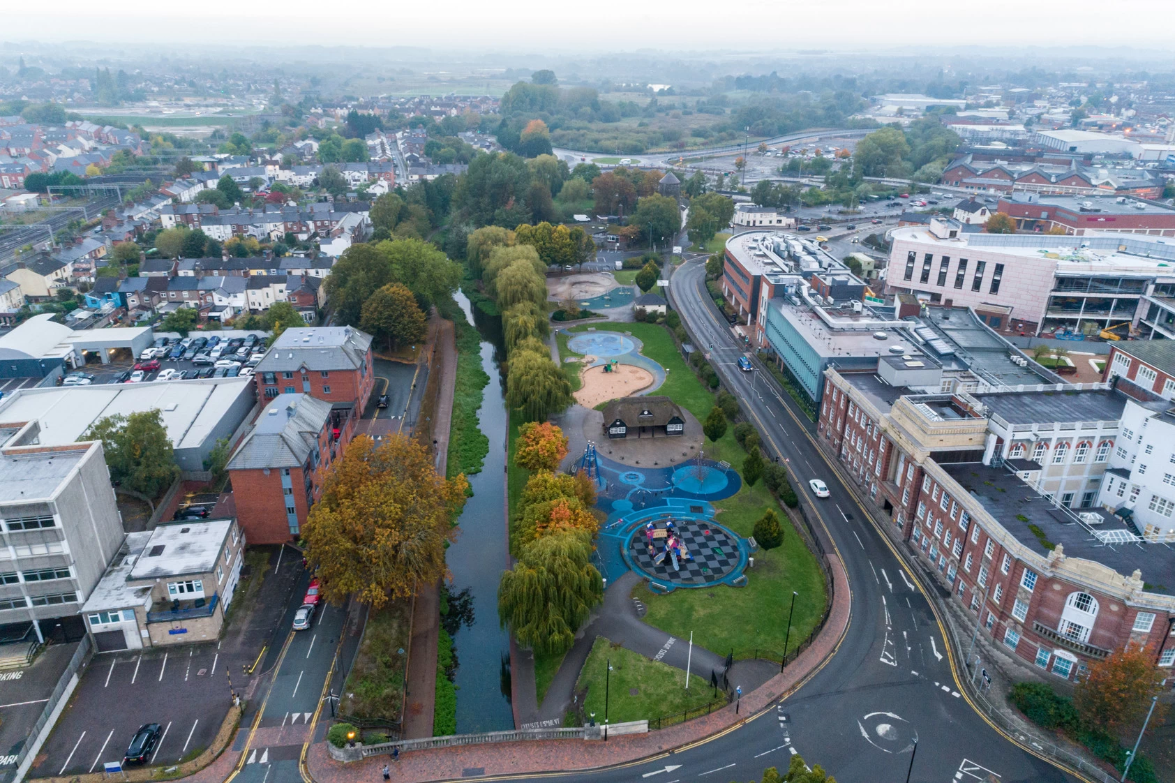
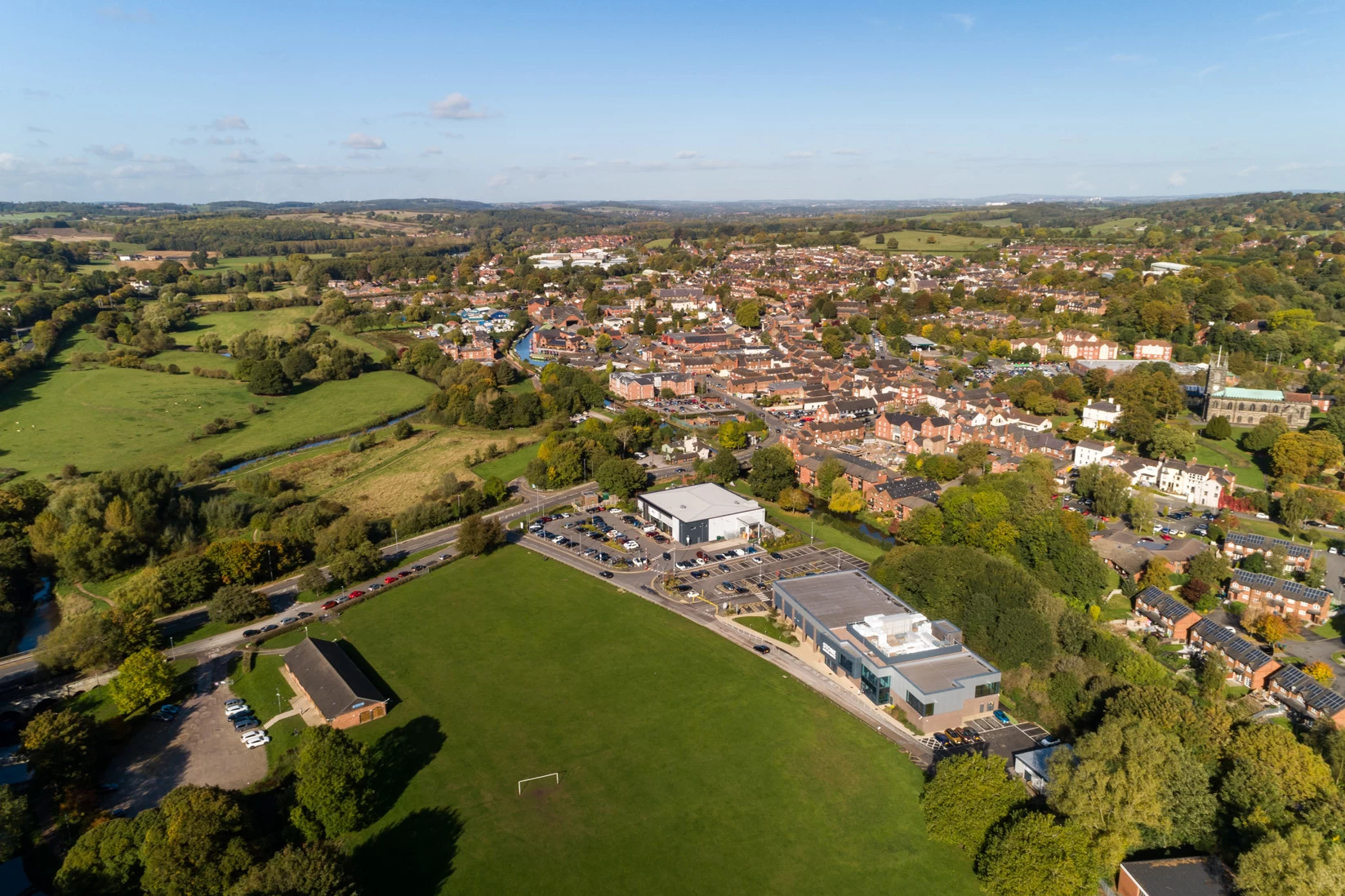
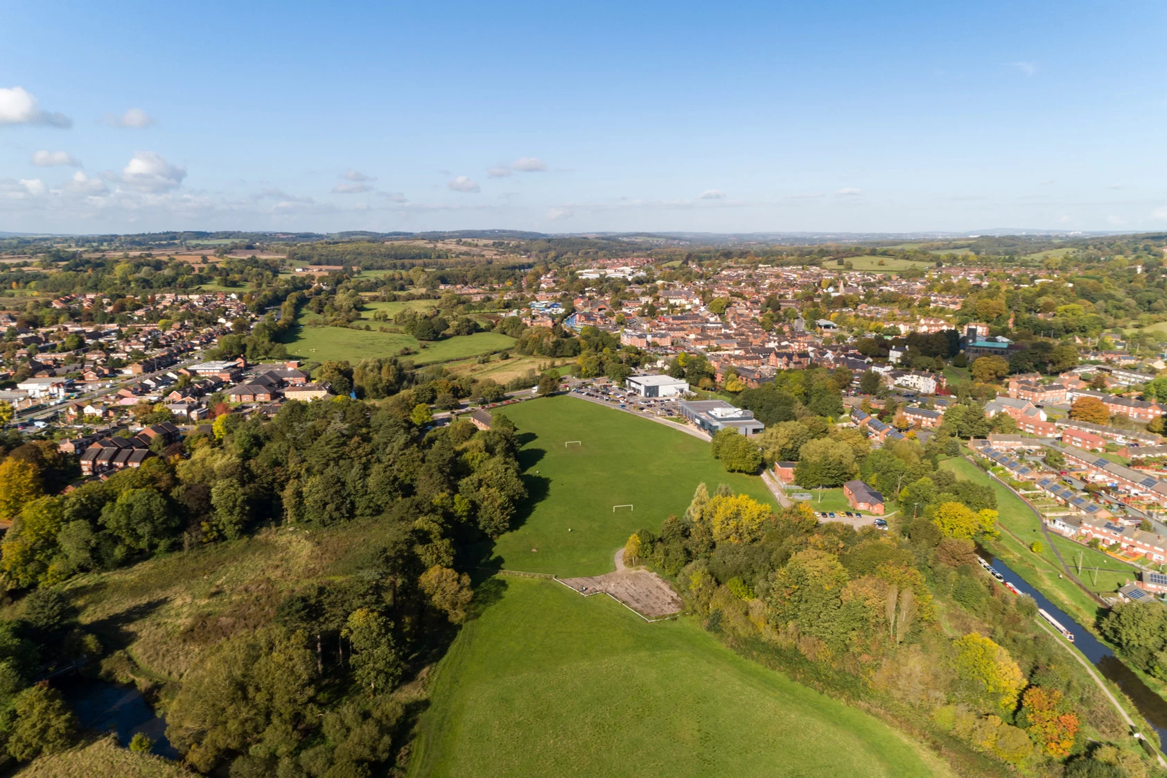
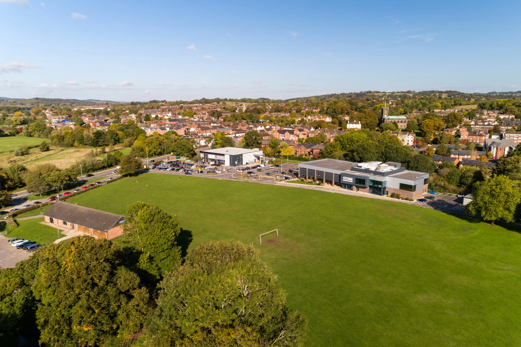
As part of its consultation on the Local Plan for Stafford, Stafford Borough Council approached us to provide aerial photography and video footage of key sites across the area. The content was required to support a video explaining the proposed plans, helping members of the public gain a clearer visual understanding of the locations being considered and the wider context of the proposals.
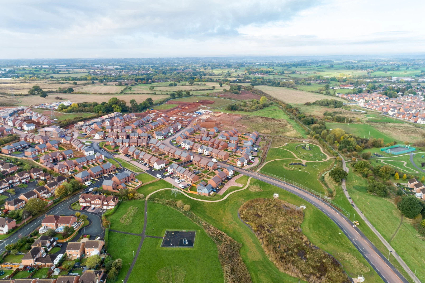
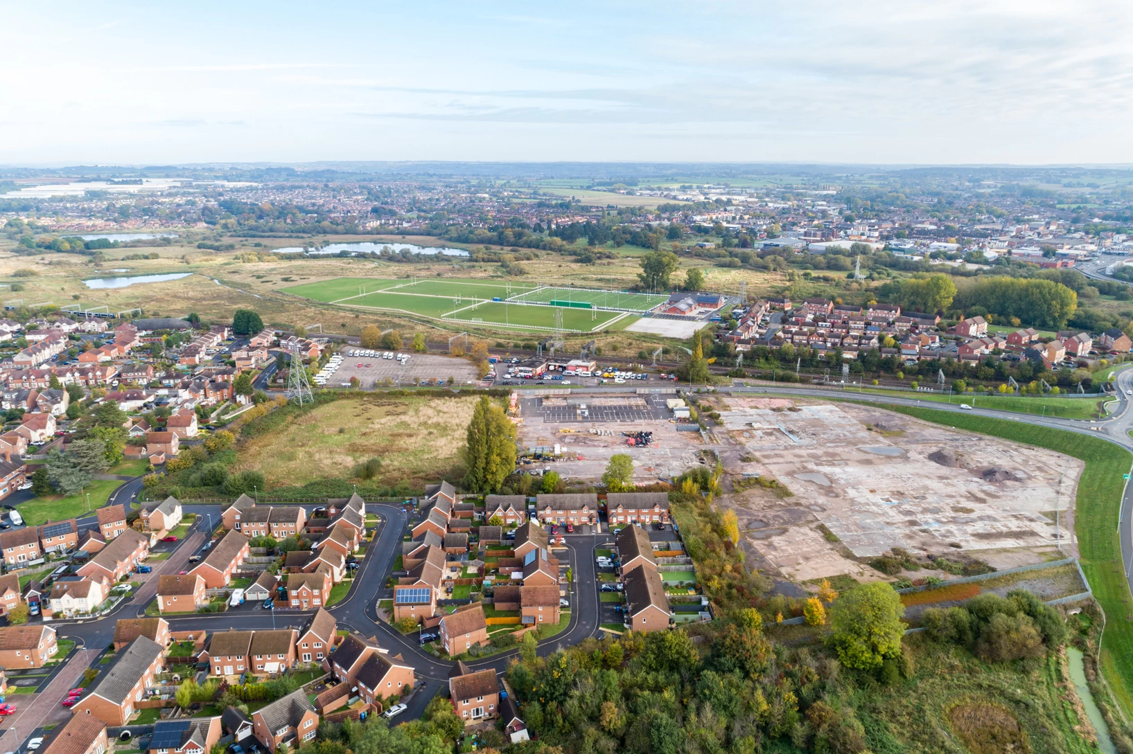
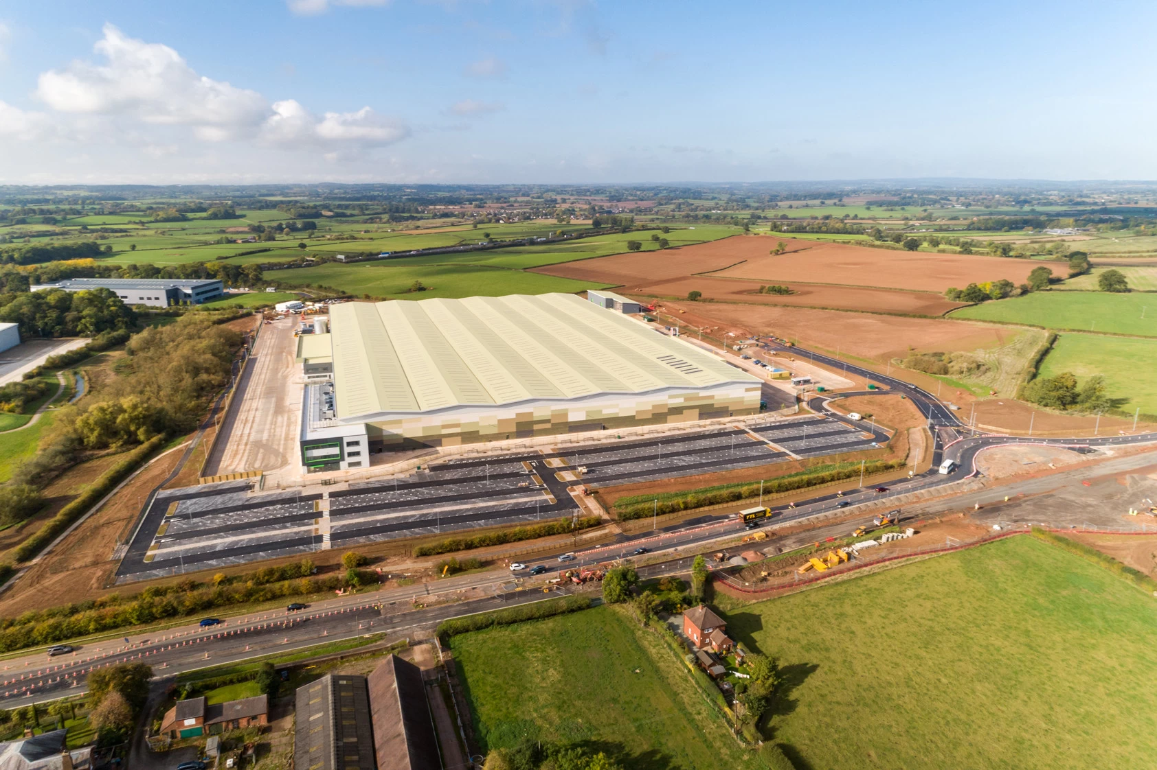
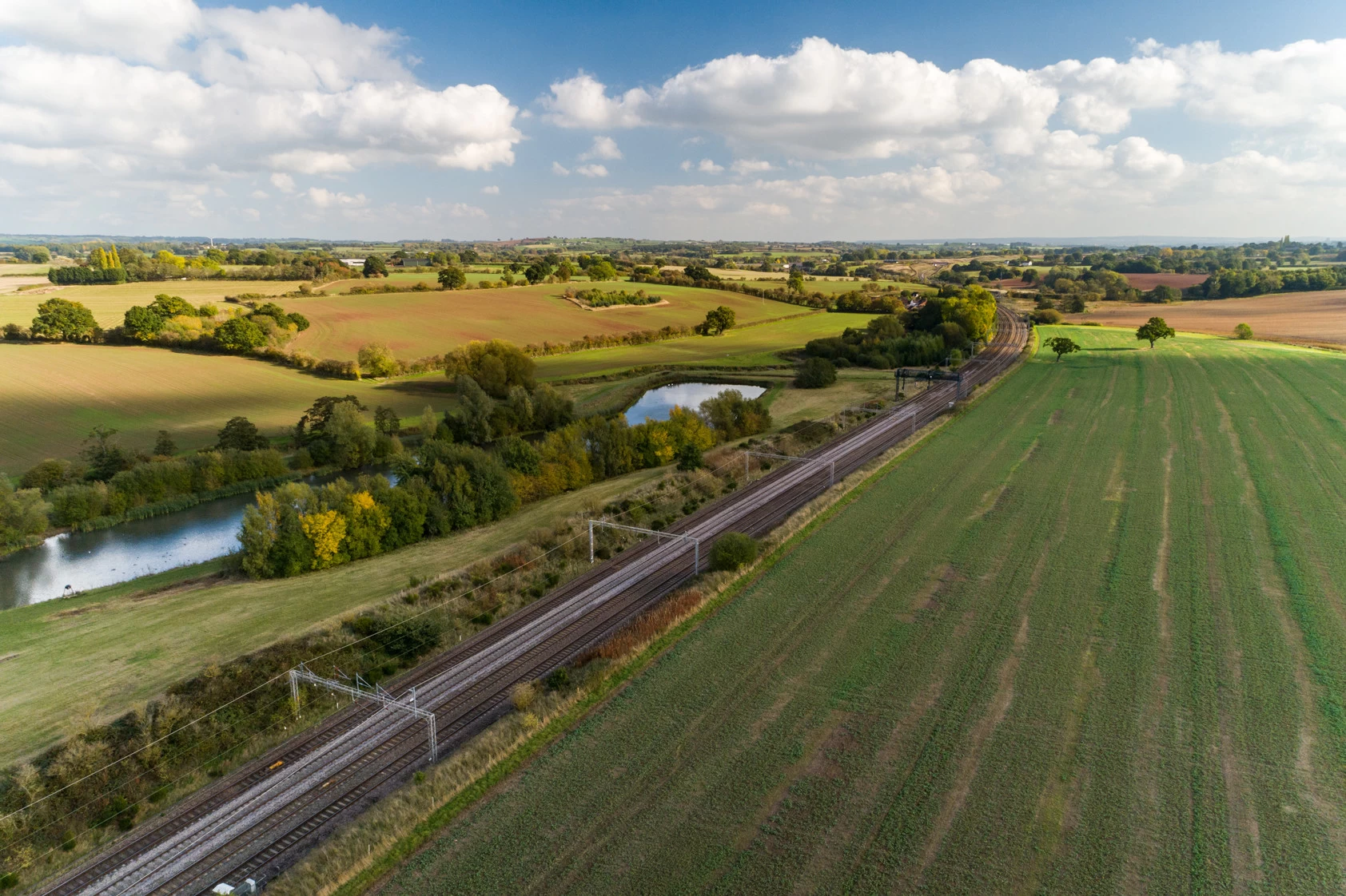
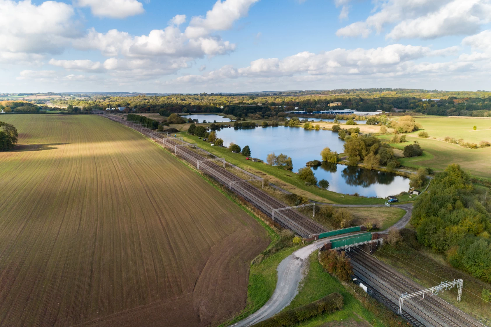
We visited the selected sites and used our drone to capture a range of aerial footage and still images. By approaching each location with the final video and wider promotional use in mind, we were able to provide a varied collection of visuals that could clearly communicate the scale, setting and surroundings of each site.
The finished footage was supplied for use within the Local Plan video, while the still photography gave Stafford Borough Council an additional library of aerial imagery for future promotional and consultation materials. It was a great opportunity to help bring an important local planning project to life through professional aerial content.
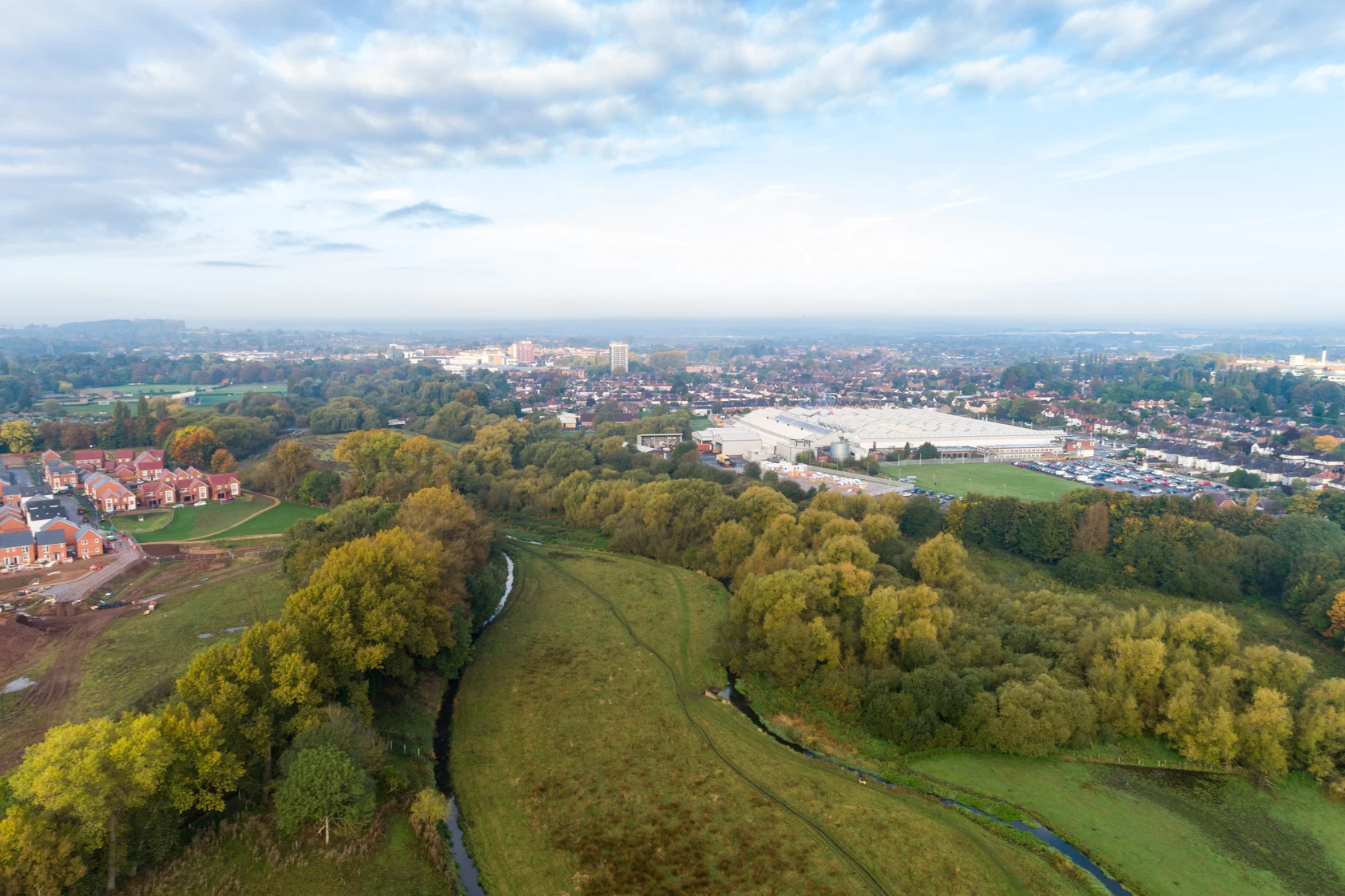
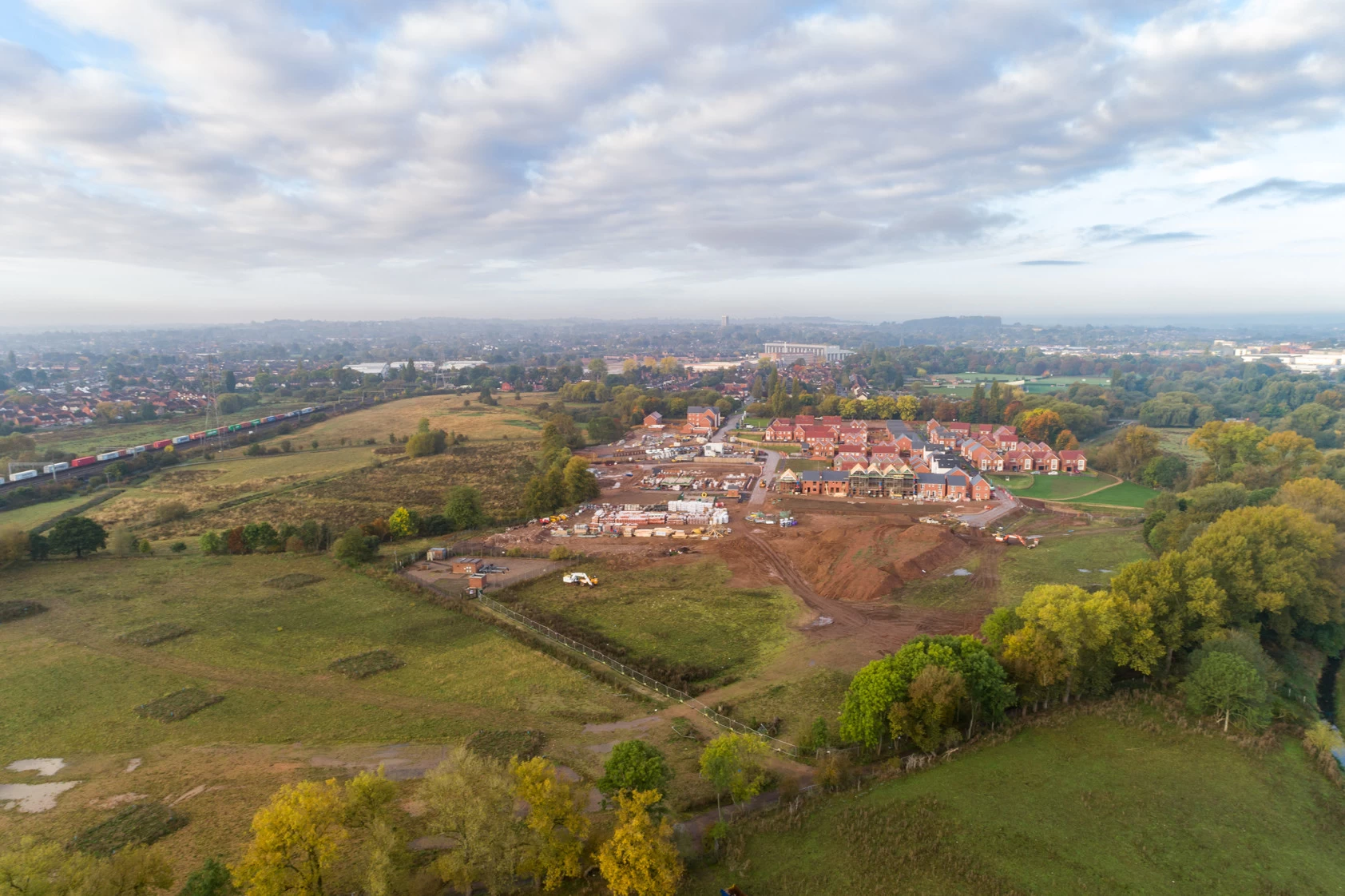
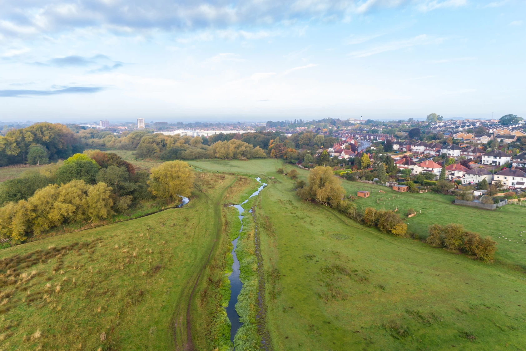
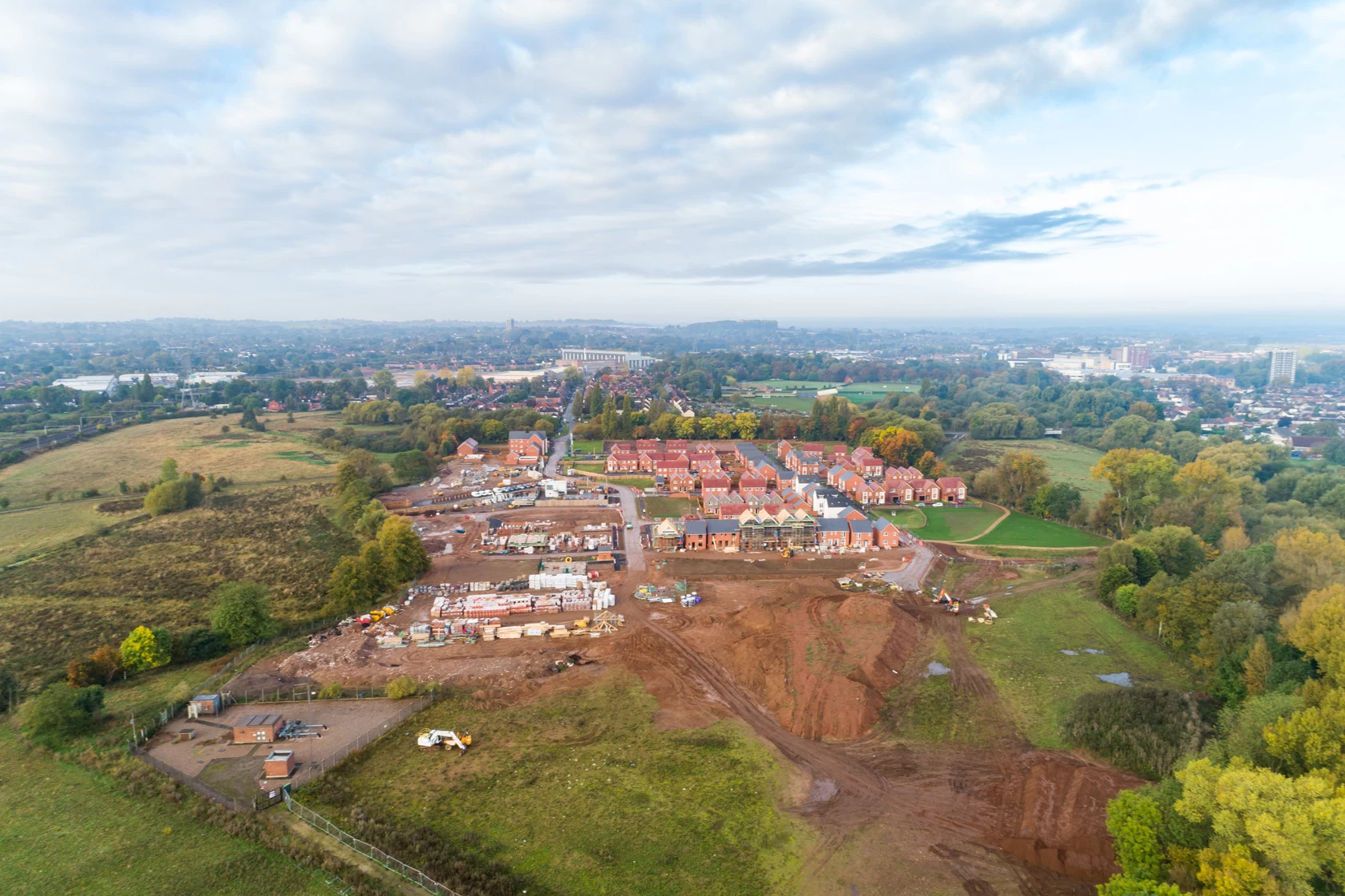
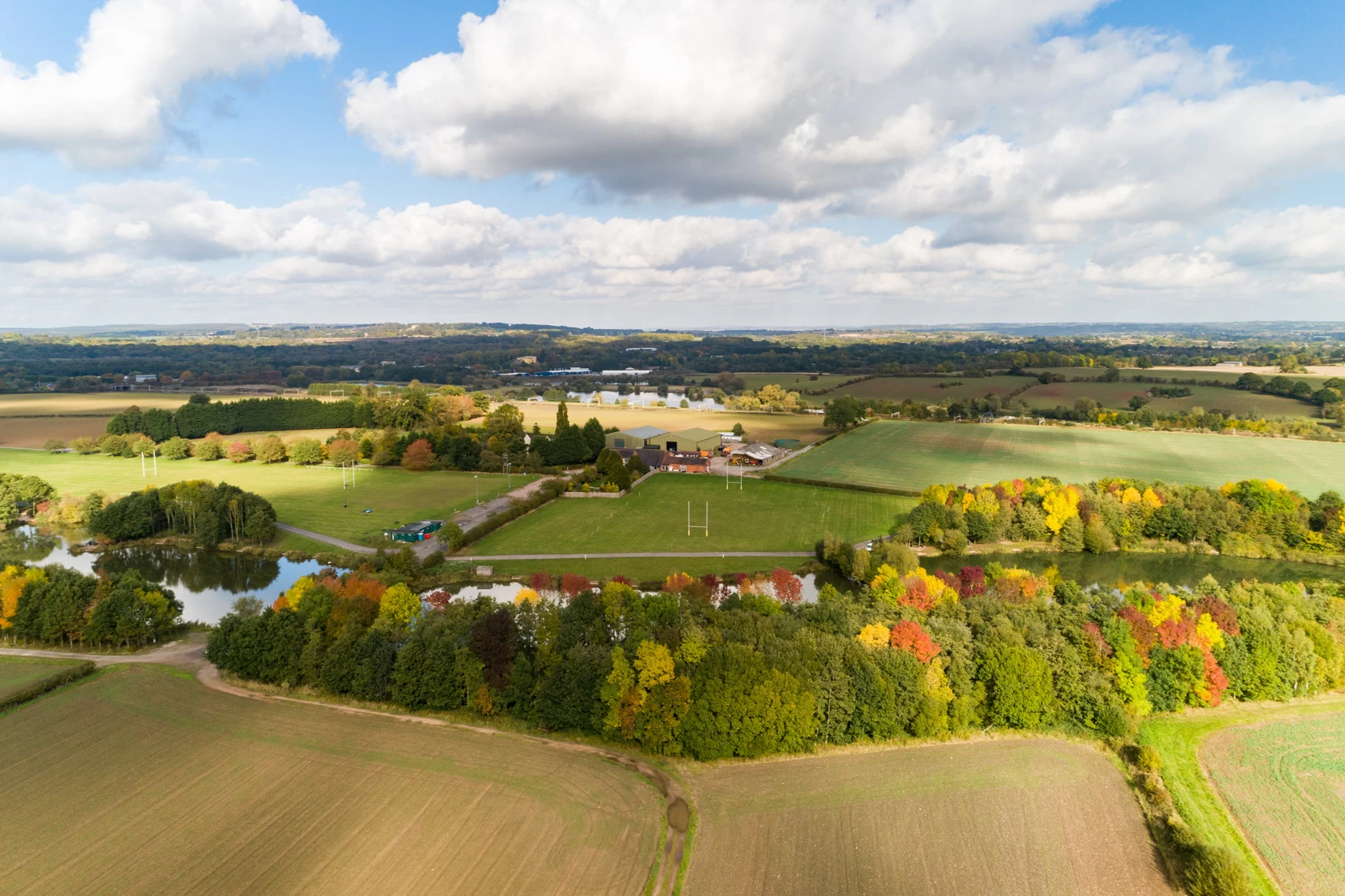
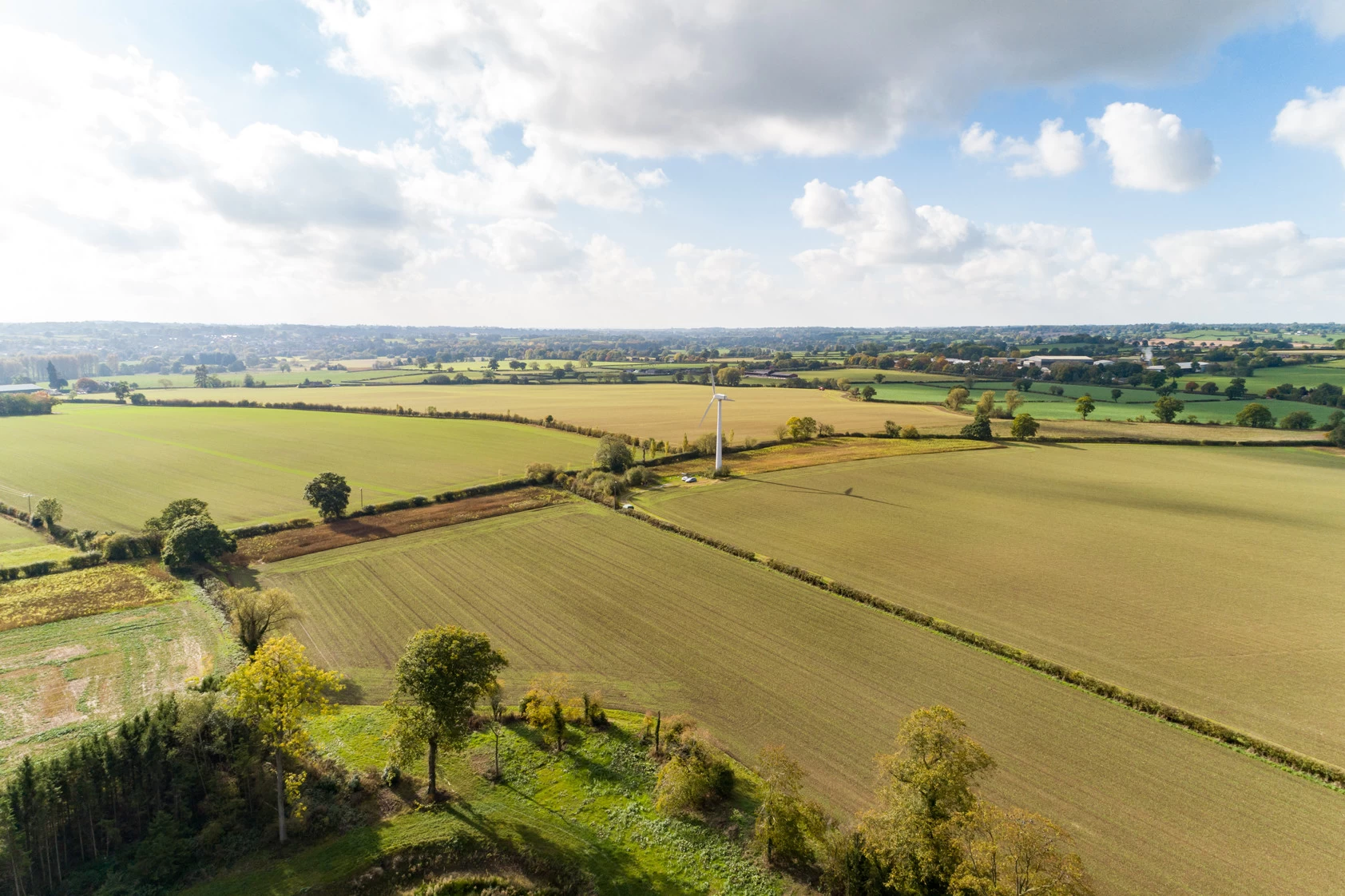
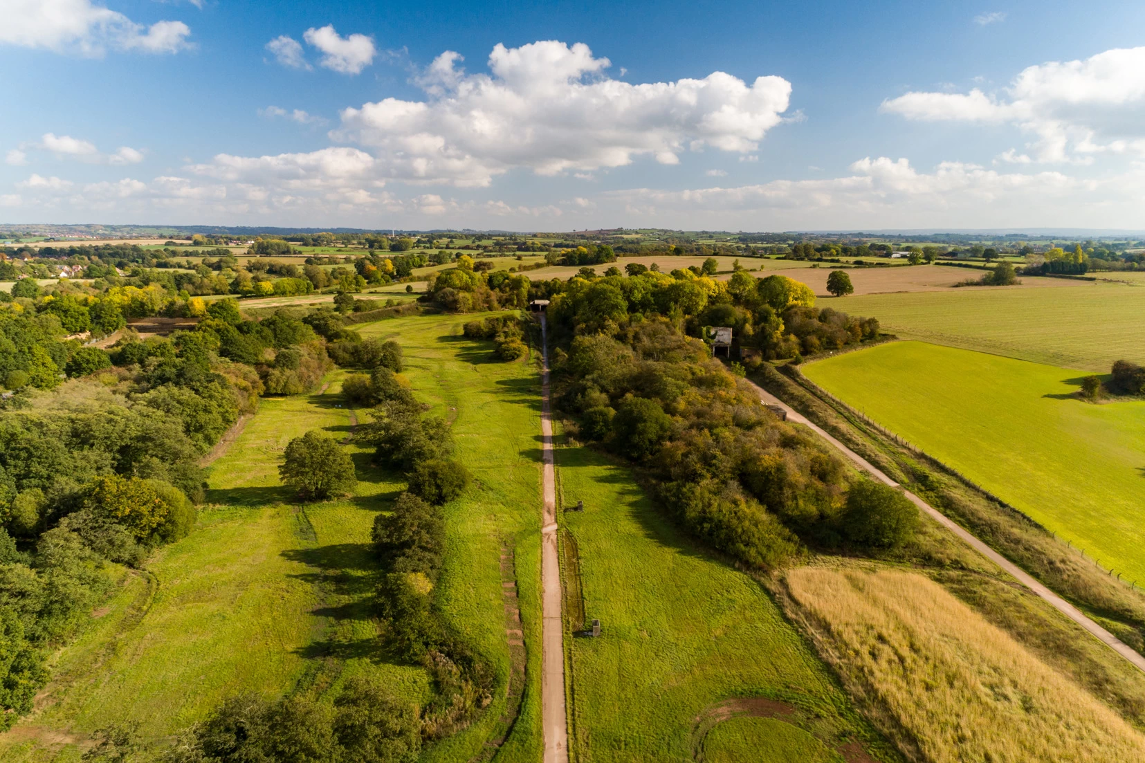
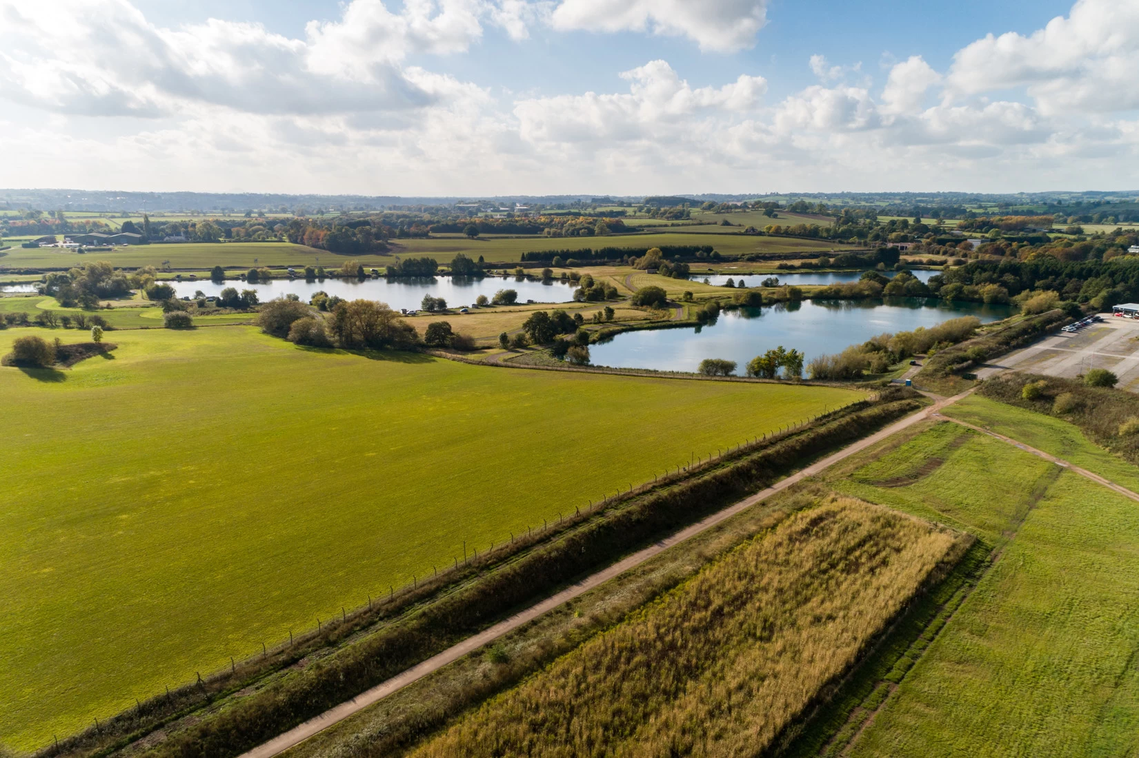
Browse the gallery below to see a selection of the aerial photography captured for Stafford Borough Council.
Ready to start your project?
